
Bursa · Nilüfer · Uluabat Lake wetland
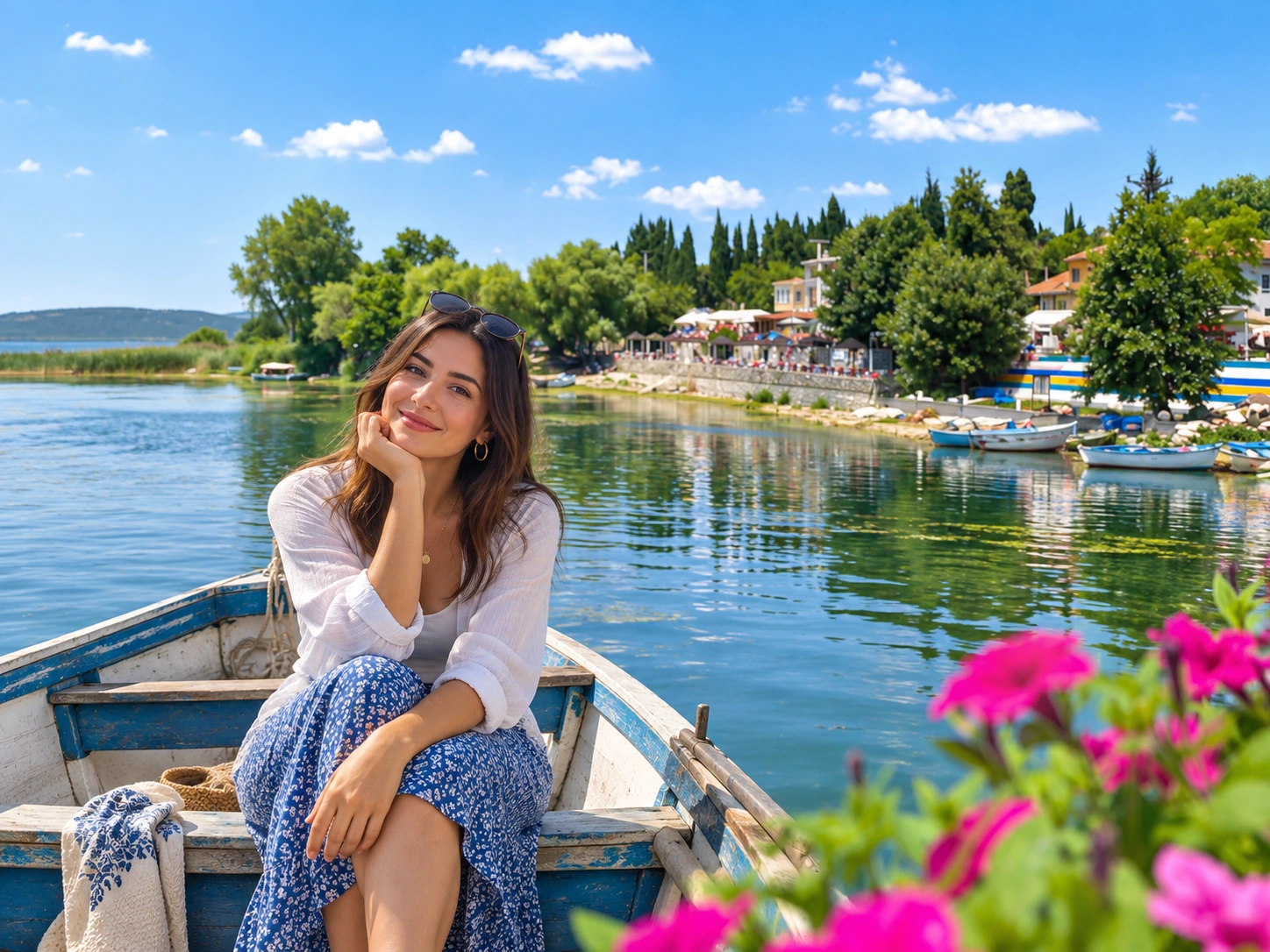
Gölyazı is a historic lakeside settlement in Nilüfer, Bursa — today a municipal mahalle with village character, not a freestanding rural township on its own. It sits on the shore of Uluabat Lake (also heard locally as Ulubat / Apolyont), a shallow nutrient-rich freshwater wetland and Ramsar site 944. Visitors come for waterfront walks, the famous Ağlayan Çınar (Weeping Plane), remnants of ancient Apollonia ad Rhyndacum, seasonal reed-and-lily views, and optional boat rides — not for swimming-pool clarity. This 2026 guide keeps ecology, history and day-trip logistics honest for travellers based in Bursa or arriving from Istanbul.
Cab Istanbul provides chauffeur and intercity transport only. A driver is not a licensed nature or archaeology guide and does not sell boat tickets, restaurant packages or wetland permits. Pair Gölyazı with Cumalıkızık, Uludağ or Bursa waterfalls only when geography and timing allow.
At a glance
Popular places around Gölyazı and Uluabat Lake
There is no official “nine mystical islands” checklist and no place called “Uluabat Bird Paradise.” Use the registry below as a practical visitor map — identifiable stops, not brochure fiction. Manyas / Kuş Gölü is a neighbouring wetland in the same corridor and a separate lake; do not merge bird sanctuaries in your itinerary notes.
| Place | District / area | Why visit | Practical note |
|---|---|---|---|
| Gölyazı historic settlement / waterfront | Nilüfer · Gölyazı Mahallesi | Lakeside streets, peninsula character, cafés and shoreline walks | ~25–40 km / ~30–50 min from Bursa centre · quick stop 45–90 min or half-day with lunch/boat |
| Ağlayan Çınar (Weeping Plane) | Gölyazı waterfront / square context | Protected monumental Oriental plane; natural “weeping” seepage | ~750+ years by mid-2020s (1998 survey: 725) · fact vs Eleni–Mehmet legend kept separate |
| St Panteleimon Church | Gölyazı historic core | Standing church remnant of the pre-1923 Orthodox community | Exterior viewing typical · respect religious and conservation signs |
| Apollonia walls / Taş Kapı | Gölyazı / SIT area | Ancient Apollonia ad Rhyndacum fortification context | Soft ruins walk · not a reconstructed open-air museum |
| Uluabat Lake boat / reed & lily views | Gölyazı harbour / cooperative operators | Seasonal lake rides toward reeds, lily beds and island views | Availability season-dependent · confirm on site · exact fare omitted |
| Eskikaraağaç Stork Village | Opposite / other peninsula of Uluabat | European Stork Village — strong complementary lake stop | Separate peninsula drive · best as half-day or full-lake day, not a 15-minute add-on |
| Theatre / Kız Adası (soft) | Gölyazı / lake views | Theatre restoration context; soft island viewing from boat | Optional · do not invent fixed island counts or mystical lists |
| Ayvaini Cave | Broader Mustafakemalpaşa / Karacabey corridor | Long technical cave (~5 km class) | Not a casual tourist cave — guide and equipment required |
| Suuçtu Waterfall | Mustafakemalpaşa · Nature Park | Broader Bursa nature extension on the same western corridor | Not lakeside — separate half-day; see Bursa waterfalls |
Compare before you go
Nature and experience — what suits your day
Uluabat rewards slow looking: wetland light, reeds, seasonal water lilies and bird concentrations in winter and migration windows. It does not reward invented swimming, wild camping or “largest in Turkey” absolute rankings.
| Experience | Access | Effort | Best for | Honesty check | Best season |
|---|---|---|---|---|---|
| Gölyazı waterfront walk | Road into mahalle; short shore strolling | Easy | Families, first-time Bursa visitors | Peninsula + causeway settlement — not a pure offshore island | Year-round; spring–autumn most pleasant |
| Ağlayan Çınar visit | Central Gölyazı stop | Easy | Photo / heritage stop | Weeping = natural seepage FACT; love story = LEGEND only | Any dry walking day |
| Seasonal boat ride | Local cooperative / operators from Gölyazı | Easy once boarded | Reed, lily and island viewing | Season-dependent · fare verify on site · omit old TL quotes | Warmer months when operators run |
| Wetland birdwatching | Shore / boat viewpoints | Easy–moderate | Nature travellers with binoculars | Important wintering/migration site — no fake species totals | Winter and migration windows strongest |
| Water-lily viewing | NE / Gölyazı cove context; boat helpful | Easy | Seasonal photography | Extensive / among Turkey’s richest soft — not “largest” absolute | Warm season bloom windows |
| Eskikaraağaç Stork Village | Separate peninsula drive | Easy once there | Stork season and village life | Complementary lake stop — not Gölyazı itself | Stork nesting season (spring–summer soft) |
| Lakeside breakfast / fish lunch | Cafés and fish restaurants in Gölyazı | Easy | Food-led half-days | Local fish restaurants soft — no guaranteed fish auction | Weekday mornings quieter |
| Ayvaini Cave | Broader corridor; specialist access | Hard / technical | Prepared cavers only | Not a casual nearby attraction | Only with guide, kit and weather window |
| Suuçtu Nature Park add-on | Mustafakemalpaşa west | Easy park walk after long drive | Broader Bursa nature day | Not on the lake shore — separate logistics | Spring flow; summer shade with crowds |
Picnic soft lakeside is possible if you pack out waste. Do not treat free BBQ as endorsed inside a Ramsar wetland. Wild camping is not recommended.
Ecology · Ramsar site 944
Uluabat Lake — shallow wetland, not a crystal-clear pool
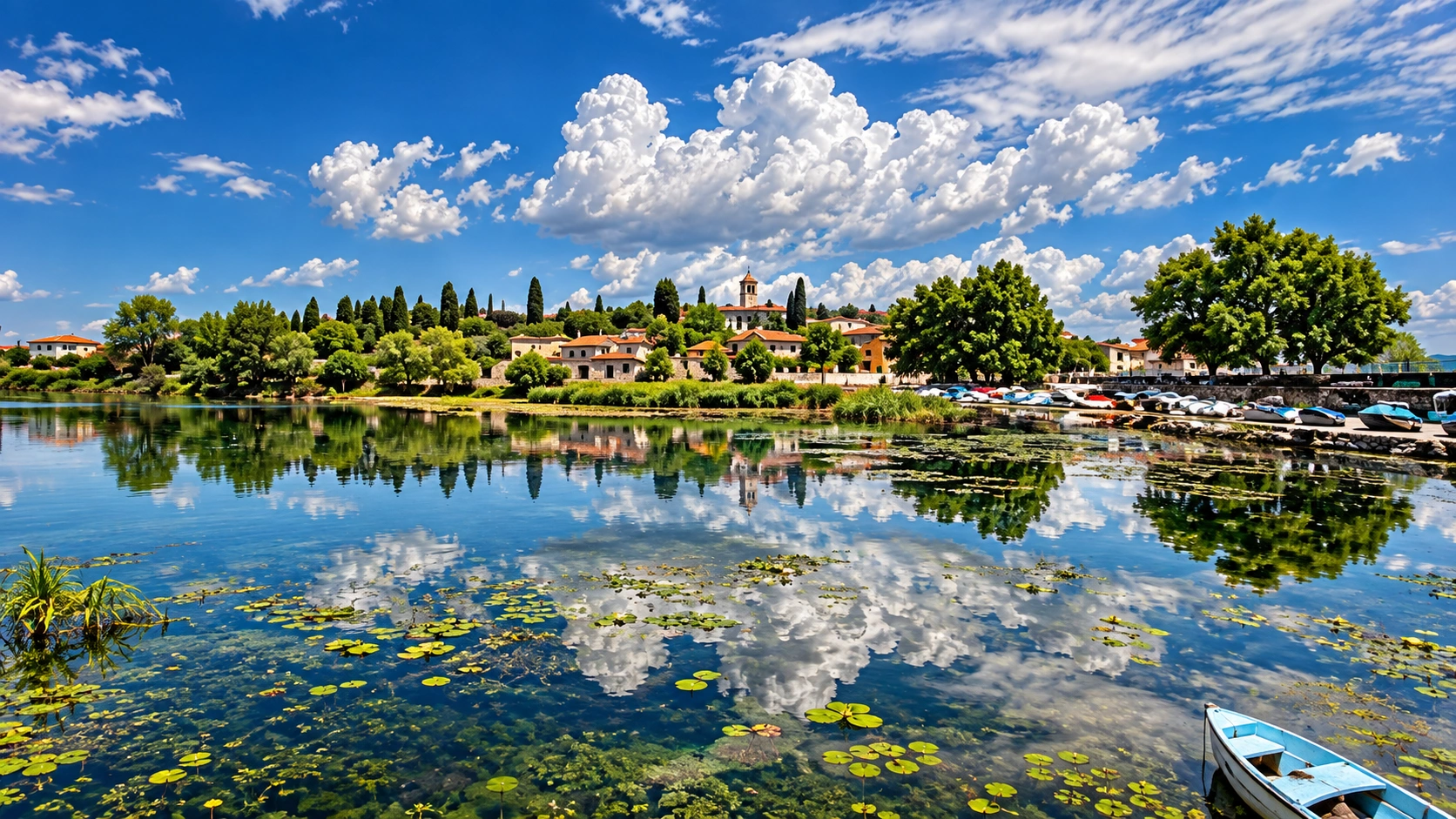
Uluabat Lake is a tectonic depression lake in the Yenişehir–Bursa–Gönen corridor, sitting roughly 8–9 m above sea level. It is a shallow, turbid, nutrient-rich (eutrophic) freshwater lake — Ramsar Information Sheet language, not a marketing failure. Older tourism copy that promised “crystal-clear water” is simply wrong for visitor expectations.
Distinguish two area figures carefully:
- Ramsar wetland site 944 “Lake Uluabat”: about 19,900 ha, designated 12 June 1998 (RSIS; Turkish gazette context often cites 15 April 1998). The Ramsar envelope includes surrounds — it is not identical to open-water surface alone.
- Water surface: variable with water level, commonly discussed in the ~120–160 km² class. An older typical figure of about 13,600 ha (136 km²) is a soft historical/typical surface reference, not a forever-fixed map constant.
Depth is likewise honest and local: mean depth about 2.5–3 m; much of the basin is only 1–2 m deep; a local deep hole near Halilbey Island reaches about 10 m. Do not recycle the outdated “maximum 4 m” brochure line.
Hydrology in plain language: primary inflow is the Mustafakemalpaşa Çayı; outflow is via Uluabat Deresi / Çayı into the Susurluk / Kocaçay system toward the Marmara. Agricultural pressure, eutrophication and water-level swings are real management themes — note them without alarmism.
Birdlife: Uluabat is an important wintering and migration wetland. Expect contexts such as Dalmatian pelican (Pelecanus crispus), pygmy cormorant and waterfowl concentrations. This guide does not publish “highest waterfowl since the 1970s,” invented species totals, or a fake “Uluabat Bird Paradise” brand. Manyas / Kuş Gölü remains a separate neighbour lake — keep the names distinct.
Islands and islets: counts vary by source and water level (Ramsar notes four islands; other sources cite higher counts). Say several islands/islets; verified names in soft visitor use include Halilbey, Heybeli and Kız Ada. No “nine mystical islands” list.
Water lilies (Nymphaea): extensive seasonal beds, especially toward the northeast / Gölyazı cove — among Turkey’s richest / most extensive soft wording is fine; an absolute “largest in Turkey” ranking is not.
Living Lakes: network membership around the EXPO 2000 / Global Nature Fund Living Lakes era is soft historical/network recognition — not the primary 2026 marketing badge. Lead with Ramsar site 944.
Video is visual orientation only — depth, bird counts and access rules follow research and posted signs, not clips.
Seasonality for wetland days
| Season | What to expect |
|---|---|
| Spring | Milder walking weather; stork season begins to strengthen at Eskikaraağaç; early reed green-up; boat operators may restart as demand rises |
| Summer | Peak café / boat / lily interest and larger weekend crowds; haze and heat over shallow water; bring shade and water — not a swim destination |
| Autumn | Quieter shores and soft light; migration windows begin; still good for half-day photography without inventing “always full lily fields” |
| Winter | Stronger waterbird concentrations for patient observers; colder wind off the lake; shorter daylight — keep walks compact and roads cautious |
Choose the day to match the goal: winter for birds, warm months for boats and lily colour, weekdays if you want fewer cars on the causeway approach.
Settlement · Apollonia ad Rhyndacum
Gölyazı — peninsula settlement with ancient and exchange history
Gölyazı Mahallesi belongs to Nilüfer district. Tourism speech still says “village,” and the place keeps a strong village character — but administratively it is a Bursa neighbourhood / historic lakeside settlement. Geography explains the island illusion: Gölyazı occupies a peninsula / islet-like lobe linked by a causeway / road. In high-water seasons, shoreline trees can look waist-deep in the lake — that is water-level theatre, not proof that the whole settlement floats free of land.
Ancient name: Apollonia ad Rhyndacum, tied to the Rhyndacus / Orhaneli–Kocaçay river context. Soft remains visitors may encounter include fortification stretches and Taş Kapı, St Panteleimon Church, theatre restoration context, Deliktaş notes and soft Kız Adası viewing — within a protected SIT landscape. The wrong entity name sometimes pasted into older tourism copy is removed from this guide — keep Apollonia as the ancient place-name here.
Before 1923 a Greek Orthodox community lived here. After the 1923 population exchange between Greece and Turkey, the settlement’s demographic story changed under treaty terms. Keep wording careful and accurate: acknowledge community history without inventing a blanket “perfect harmony” narrative or turning oral romance into documented chronicle.
Practical walking tips: wear flat shoes for uneven stones near walls and shore edges; give fishing nets, café terraces and private courtyards room; and treat the causeway approach as a shared local road, not a pedestrian-only boardwalk. High-water days can flood low shore trees — photograph from safe footing rather than stepping into soft mud.
Today’s visitor rhythm is simple: arrive by road, walk the waterfront, visit Ağlayan Çınar and church/wall contexts, pause for tea or fish, and — when operators are running — take a seasonal boat. Accommodation is limited locally (boutique / pension search demand exists); many travellers still sleep in Nilüfer or wider Bursa and treat Gölyazı as a day stop. Wild camping in the Ramsar wetland is not recommended.
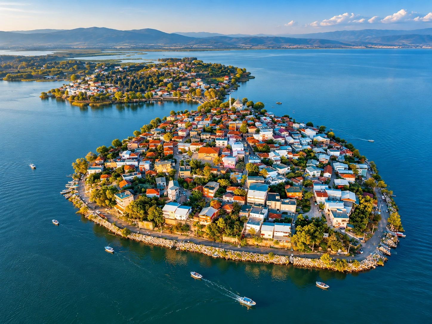
- Visit length: 45–90 minutes for a focused stop; half-day with boat and lunch; longer if you add Eskikaraağaç.
- Boats: seasonal cooperative / local operator rides — confirm on the day; no locked 2026 fare published here.
- Fishery context: carp, catfish, pike and crayfish appear in historical / local food talk; the fishery is under pressure — prefer soft “local fish restaurants” over “bountiful untouched lake” claims.
Natural monument · fact and legend
Ağlayan Çınar — why the plane “weeps”
The Ağlayan Çınar is a monumental Oriental plane (Platanus) — a protected natural monument and one of Gölyazı’s most searched landmarks. Age wording must stay consistent: a 1998 survey recorded about 725 years; by the mid-2020s the same tree is reasonably described as ~750+ years. Those are not two rival trees — they are the same specimen dated from different reference years.
Fact: natural seepage
The “weeping” is a natural phenomenon: water or sap seepage from a hollow trunk or branch. That physical behaviour is the factual core of the name. Soft folklore sometimes colours the seepage as iron-tinged — treat colour talk as description / folklore, not verified chemistry published as laboratory fact.
Legend only: Eleni and Mehmet
Oral tradition tells a love story of Eleni and Mehmet attached to the tree. Present it clearly as legend / folklore, not documented history. Do not quote invented “blood messages” as historical record. Visitors can enjoy the story as story while respecting the tree as a living monument.
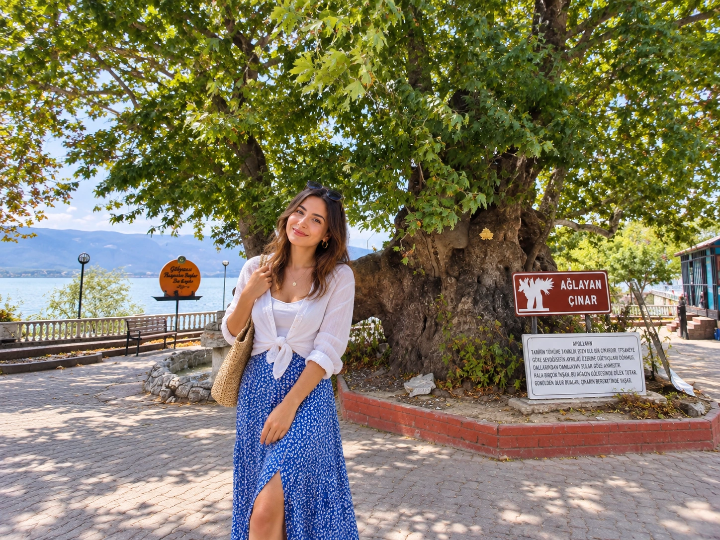
Stand back from roots and hollow openings; follow local protection rules. The tree is a monument, not a climbing frame.
Eat and pause
Food around Gölyazı — lake tables and Bursa city extensions
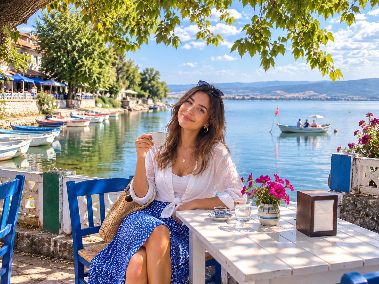
On site, the honest food map is lakeside: breakfast and cafés, tea under plane shade, and fish restaurants when local catch and menus allow. Opening hours and dishes are day-dependent — treat them as local hospitality, not a locked tasting menu. Soft picnic by the shore is fine if you leave no litter; this guide does not endorse free BBQ inside the wetland.
İskender kebab and kestane şekeri (chestnut candy) belong to the wider Bursa city food story. They are excellent same-trip extensions after you return to town — not Gölyazı specialties invented on the waterfront.
İskender video is Bursa city food context only — visual extension after a lake day, not proof of Gölyazı restaurant menus.
One-day planning
Day-trip itineraries — Gölyazı, stork village and Bursa links
Geography is kind if you stay west of Bursa and do not force Suuçtu, Softaboğan and Gölyazı into one rushed checklist. Build from a short lakeside stop upward.
| Route | Direction | Stops | Who it suits |
|---|---|---|---|
| A — Quick Gölyazı | Bursa west / Nilüfer | Waterfront walk → Ağlayan Çınar → church / walls soft → tea → return | 45–90 min window; families; first look at the lake |
| B — Half-day lake | Gölyazı harbour | Route A + seasonal boat (if running) + fish lunch / café | Travellers wanting reed, lily and shoreline time without rushing |
| C — Full Uluabat day | Both lake peninsulas | Gölyazı morning → Eskikaraağaç Stork Village afternoon (or reverse) | Nature-and-village day with private car / chauffeur |
| D — Bursa heritage combo | Separate half-days preferred | Gölyazı + Cumalıkızık or city İskender evening | Visitors splitting west lake and east village / city food |
| E — Broader nature note | Mustafakemalpaşa corridor | Optional Suuçtu on a different half-day; Ayvaini only for technical cavers | Do not treat Suuçtu as “on the lake”; Ayvaini is not casual |
Uludağ and Bursa waterfalls are excellent provincial companions on other days — not free inserts into every Gölyazı loop.
Packing and courtesy notes
- Binoculars: useful in winter and migration windows; do not invent species lists from a single glance.
- Cash / cards: small cafés and boat desks may prefer cash — carry both without assuming every terrace takes cards.
- Waste: pack out picnic rubbish; reeds and shoreline edges are habitat, not bins.
- Drones: check current rules before flying over a Ramsar wetland and residential mahalle.
- Families: waterfront edges and harbour stones can be slippery — supervise children near the shore.
Getting there
Transport — Istanbul to Bursa, then Bursa to Gölyazı
Gölyazı is a realistic Bursa half-day. Public options toward the mahalle exist (Burulaş / local bus references appear in search), but last-mile comfort still favours private car or chauffeur — especially if you add Eskikaraağaç or continue to other west-Bursa stops.
| Route | Typical pattern | Notes |
|---|---|---|
| Istanbul → Bursa | Private / chauffeur via Osmangazi Bridge ~1.5–2.5 h traffic-dependent; coaches longer from European side | Times are mode- and traffic-dependent — not a universal “always 2 hours” |
| Bursa → Gölyazı | West / Nilüfer · ~25–40 km class · ~30–50 min soft | Sources vary; plan buffer for weekend traffic |
| Gölyazı → Eskikaraağaç | Around-lake / other peninsula drive | Separate stop — not a short waterfront shuffle |
| Public transport honesty | Local buses toward Gölyazı may run (confirm day-of) | Last mile and multi-stop days still practical with car |
| Bursa → Suuçtu (broader day) | Further west via Mustafakemalpaşa | Not lakeside; separate Nature Park logistics |
| Cab Istanbul chauffeur | Istanbul↔Bursa and Bursa west routing with driver | Transport only — driver ≠ licensed guide; not an airport-transfer-as-Gölyazı-tour product |
Chauffeur logistics
Cab Istanbul — transport for Gölyazı and Uluabat days
Use Cab Istanbul when you need door-to-door timing from Istanbul into Bursa and then west to Gölyazı, Eskikaraağaç or a city-food evening without rebuilding last-mile taxis at every stop. The service is transport only: your driver does not replace a licensed guide, sell boat tickets, or authorise camping inside the Ramsar wetland.
- Bursa tour / chauffeur routing — city-side and day-trip logistics from a Bursa base.
- Intercity car with driver in Turkey — Istanbul↔Bursa and multi-stop provincial routing.
- Car with driver in Istanbul — Istanbul-leg city transport before or after the Bursa trip.
Airport transfer products are airport-leg services — not proof of a packaged Gölyazı wetland tour.
FAQ
Gölyazı and Uluabat Lake — frequently asked questions
Where is Gölyazı?
In Nilüfer, Bursa — Gölyazı Mahallesi, a historic lakeside settlement on Uluabat Lake with strong village character.
Is Gölyazı a village or a neighbourhood?
Administratively it is a mahalle (neighbourhood) of Nilüfer. Tourism speech still says “village”; both the village character and the municipal status are true in different registers.
What is the correct spelling of the lake name?
Canonical spelling in this guide is Uluabat. Older or local spellings and a historic lake name appear once in the introduction; use Uluabat in planning notes and maps.
Is Uluabat Lake a Ramsar site?
Yes — Ramsar site 944 “Lake Uluabat”, about 19,900 ha, designated June 1998 (RSIS 12 June; Turkish gazette context often 15 April).
Is the water crystal clear?
No. Uluabat is a shallow, turbid, nutrient-rich / eutrophic freshwater lake. Plan for wetland scenery, not swimming-pool clarity.
How big is Uluabat Lake?
Separate figures: Ramsar wetland site ≈ 19,900 ha (incl. surrounds). Open-water surface is variable (~120–160 km² class); ~13,600 ha / 136 km² is a soft typical older surface figure, not fixed forever.
How deep is Uluabat Lake?
Mean about 2.5–3 m; much of the basin 1–2 m; local max near Halilbey Island ~10 m. The old “max 4 m” line is incorrect.
What feeds and drains the lake?
Primary inflow: Mustafakemalpaşa Çayı. Outflow: Uluabat Deresi / Çayı into the Susurluk / Kocaçay system toward the Marmara.
Is Uluabat the same as Manyas Bird Paradise?
No. Manyas / Kuş Gölü is a separate neighbouring lake. There is no “Uluabat Bird Paradise” entity in this guide.
How many islands does Uluabat have?
Counts vary by source and water level. Say several islands/islets; name Halilbey, Heybeli and Kız Ada softly. Avoid “nine mystical islands.”
Are the water lilies the largest fields in Turkey?
They are extensive / among Turkey’s richest seasonal Nymphaea beds — especially NE / Gölyazı cove. Absolute “largest in Turkey” ranking is not used here.
What birds can I expect?
Important wintering and migration wetland context, including Dalmatian pelican and other waterbirds. No invented species totals or “highest since the 1970s” claims.
What was Gölyazı called in antiquity?
Apollonia ad Rhyndacum. Soft walls, Taş Kapı, church and theatre contexts remain. Keep that ancient name — do not paste unrelated classical place-names from older brochure mash-ups.
Is Gölyazı an island?
It reads as peninsula / islet-like and is linked by a causeway/road. High water can make shoreline trees look submerged — explain the hydrology rather than switching labels blindly.
What happened in the 1923 population exchange?
A pre-1923 Greek Orthodox community lived here; after the 1923 Greece–Turkey population exchange the settlement’s demographic story changed under treaty terms. Keep language careful — no invented “perfect harmony” brochure history.
How old is Ağlayan Çınar?
A 1998 survey gave about 725 years; by the mid-2020s the same tree is ~750+. Same monument, different reference years.
Why does Ağlayan Çınar weep?
Fact: natural water/sap seepage from hollow trunk or branch. Legend only: the Eleni and Mehmet oral love story — not documented history, and no blood quotation as fact.
Are there boat trips from Gölyazı?
Yes — local cooperative / operators run seasonal lake rides. Confirm on the day. Exact fares are omitted here; verify on site.
How long should I spend in Gölyazı?
Quick stop 45–90 minutes; half-day with boat and lunch; longer if you add Eskikaraağaç Stork Village. Drop the old “15–20 minutes for the whole island” framing.
Can I camp at Uluabat Lake?
Wild camping in the Ramsar wetland is not recommended / not verified as a visitor product.
Is there accommodation in Gölyazı?
Limited boutique / pension presence exists; many visitors also base in Nilüfer or wider Bursa. Do not claim “no lodging at all.”
What is Eskikaraağaç Stork Village?
A European Stork Village on another Uluabat peninsula — a strong complementary stop on a full lake day, not the same place as Gölyazı.
Can I visit Ayvaini Cave as a casual stop?
No. Ayvaini is a long technical cave (~5 km class) requiring guide and equipment — not a casual tourist cave beside the lake.
Is Suuçtu on Uluabat Lake?
No. Suuçtu is a broader Mustafakemalpaşa / Bursa nature extension — see Bursa waterfalls — not a lakeside attraction.
What should I eat in Gölyazı?
Lakeside breakfast, cafés, tea and fish restaurants. İskender and kestane şekeri are Bursa city extensions after you return to town.
How far is Gölyazı from Bursa?
Roughly 25–40 km / about 30–50 minutes by car, depending on route and traffic.
Is public transport enough?
Local buses toward Gölyazı exist in some schedules — confirm day-of. Multi-stop lake days and last-mile comfort still favour private car or chauffeur.
What is Living Lakes status?
Soft historical/network recognition (EXPO 2000 / GNF Living Lakes era). For 2026 visitor framing, lead with Ramsar site 944, not Living Lakes as a primary badge.
Can Cab Istanbul take us to Gölyazı?
Yes as transport — see Bursa tour and intercity car with driver. Your driver is not a licensed nature guide, and airport-transfer products are not Gölyazı tour packages.
What else can I combine with Gölyazı in Bursa?
Same-region companions on sensible clocks: Cumalıkızık, Uludağ, Bursa waterfalls, and city food — preferably as geography-matched half-days, not one overloaded loop.
Plan the day
Leave Bursa with an honest Gölyazı and Uluabat plan
Treat Gölyazı as Nilüfer’s historic lakeside mahalle on shallow, turbid Uluabat Lake — Ramsar site 944 at about 19,900 ha — with Ağlayan Çınar’s natural weeping kept separate from the Eleni–Mehmet legend, Apollonia ad Rhyndacum remains kept clean of mislabelled classical mash-ups, and boat rides treated as seasonal cooperative options without locked fares. Skip swimming-pool clarity myths, fake bird-paradise branding, mystical island counts and wild-camping advice. Add Eskikaraağaç when the clock allows, keep Ayvaini technical and Suuçtu on a broader Bursa nature day, then use Bursa chauffeur routing or an intercity car with driver for logistics only — never as a substitute for wetland respect or posted rules.