
Balıkesir is one of Turkey's most geographically varied provinces. Its western edge faces the North Aegean, anchored by the olive-shaded stone town of Ayvalık and the atmospheric island of Cunda. Its northern coast meets the Sea of Marmara at Erdek and the Kapıdağ Peninsula, where Proconnesian marble quarried since antiquity still shapes monuments around the world. Between the two shores: the pine and oak forests of Kazdağları, the wetland sanctuary of Manyas, Roman harbour ruins and the long sweep of the Edremit Gulf. This guide covers each region so you can plan the journey that fits your interests.
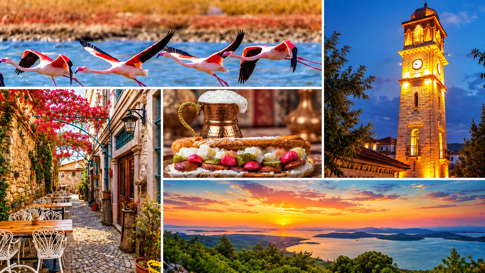
Two Coasts, One Province
Balıkesir shares borders with Çanakkale to the north, Bursa to the east and Manisa to the south, giving it road access to Istanbul, Ankara and İzmir. Internally it divides into two distinct coastal orientations:
- Aegean coast (southwest): Ayvalık, Edremit Gulf, Burhaniye, Ören — a shoreline of olive groves, ancient harbour towns and North Aegean seafood.
- Marmara coast (north): Bandırma, Erdek, Kapıdağ Peninsula, Marmara Island, Avşa Island — ferry-linked marble islands and calmer summer beaches.
The inland hinterland rises into Kazdağları (Mount Ida) National Park to the southwest and opens into the flat agricultural plains around Manyas and Susurluk toward the centre and east.
Balıkesir City Centre
The provincial capital sits inland, about 100 km from both coastlines. Most visitors pass through rather than stay, but the city centre has a handful of points worth an hour or two. The Saat Kulesi (Clock Tower) in the central square was built in 1829 and extended in 1901 — one of the few surviving Ottoman clock towers in the Marmara hinterland. Nearby, the Zağnos Paşa Camii (15th century) and its accompanying medrese reflect early Ottoman layering. The Kuvâ-yi Milliye Müzesi (National Forces Museum) documents the local contribution to the War of Independence and makes the city's historical role in that period more legible than most Turkish regional museums.
Ayvalık: Olive Town, Greek Architecture, Aegean Light
Ayvalık is the best-preserved Greek-character harbour town on Turkey's Aegean coast. Its old quarter — dense, hilly, stone-built — was shaped by the Orthodox Greek population that inhabited the area until the 1923 population exchange, and the architecture has largely survived. The streets around the former Saint Nicholas Church (now the Saatli Camii), the old bazaar lanes and the waterfront promenade offer a coherent historical townscape unusual in Turkey.
The surrounding district is a designated olive oil PDO zone. Ayvalık olive oil — produced from the local Ayvalık cultivar — has a distinct grassy, slightly bitter character and is sold in small-batch bottles at the town's delis and olive growers' cooperatives.
The former Greek church of Taksiyarhis Anıt Müzesi on the mainland (distinct from the Rahmi M. Koç Museum on Cunda) preserves frescoes and original liturgical fixtures alongside exhibits about the population exchange. Nearby Küçükköy, about 15 km from the town centre, is one of the best-preserved Greek-layout villages in the area with its stone houses largely intact.
Cunda (Alibey Island): The Island Across the Causeway
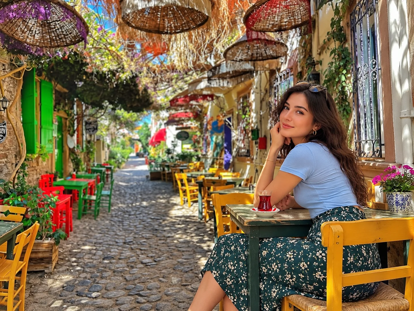
Cunda's harbour front — stone houses and the scent of grilling fish.
Cunda Island (Alibey Adası) is connected to Ayvalık by a causeway and accessible by small ferry from the town quay. Like Ayvalık, it has a strong Greek architectural identity — cobbled lanes, sea-facing stone mansions and ruined churches. The most prominent is the Taksiyarhis Church, now operating as the Rahmi M. Koç Museum (a branch of the Istanbul industrial heritage museum), holding a rotating collection of antique engines, maritime instruments and vintage vehicles.
The waterfront restaurants are well-known for papalina, a small fish in the sardine family caught along the North Aegean coast during the autumn-winter season. It is closely identified with Cunda but also fished and served at restaurants throughout the broader North Aegean shore. Octopus hung on lines to dry in the sun is one of the island's defining visual signatures.
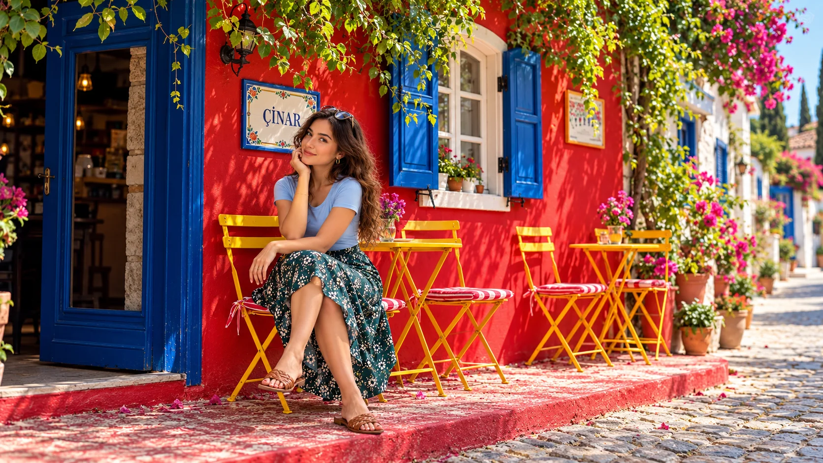
Aşıklar Tepesi: Windmill Hill with a View
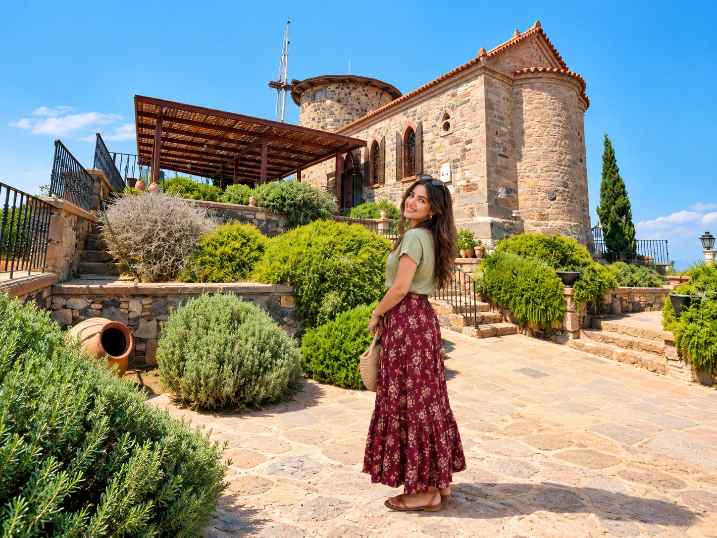
Aşıklar Tepesi — the windmill above Ayvalık frames the best sunset view in the district.
Above Ayvalık town, Aşıklar Tepesi (Lovers' Hill) offers the most photographed viewpoint in the region: a restored stone windmill on a rocky ridge, with the town's rooftops below and the scattered islands of the Ayvalık Archipelago stretching across the Aegean toward the Greek island of Lesbos. The hill is named after a short story by Turkish authors Sevim and Necdet Kent, and the windmill has become a ritual sunset spot. It is a 10–15 minute walk up from the old town.
Şeytan Sofrası: Devil's Table
A short drive from Ayvalık, Şeytan Sofrası (Devil's Table) is a flat basaltic rock outcrop on a high ridge overlooking the sea and archipelago. According to local tradition, a rounded hollow in the rock is the "footprint" of the devil — visitors drop a coin into it and make a wish. The view from the rock toward Lesbos on a clear day is one of the finest panoramas on the entire North Aegean coastal strip, and the site is popular with sunset photographers.
Sarımsaklı and the Ayvalık Islands Nature Park
Sarımsaklı is the main beach zone of the Ayvalık municipality — a long sandy stretch backed by hotels about 8 km from the town centre. The Ayvalık Islands Nature Park encompasses 22 islands and islets of the archipelago. Day-boat tours from the town quay circle several islands with swimming stops and lunch on board; the standard trip runs three to four hours.
Edremit Gulf: Thermal Springs, Beaches and Olive Groves
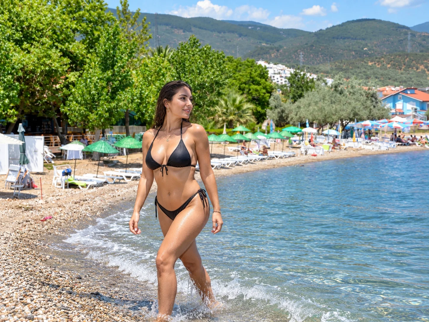
Altınoluk beach on the Edremit Gulf — pebble shore and calm Aegean water.
The Edremit Gulf is the long, contained bay stretching from Ayvalık north-east to Edremit town and curving toward the Kazdağları foothills. The coastline along the gulf's southern shore passes through several distinct settlements:
- Akçay: a popular family beach town with a long seafront promenade and flat-water swimming.
- Güre: known for its thermal springs, with several thermal hotels offering treatment packages.
- Altınoluk: a quieter settlement with a pebble beach and direct access to the lower Kazdağları foothills — a good base for combining forest and sea in a single trip.
The gulf's olive groves make this one of the most atmospheric drives on the North Aegean, particularly in late October when olives are being harvested.
Kazdağları National Park: Ida Mountains and Forest Hiking
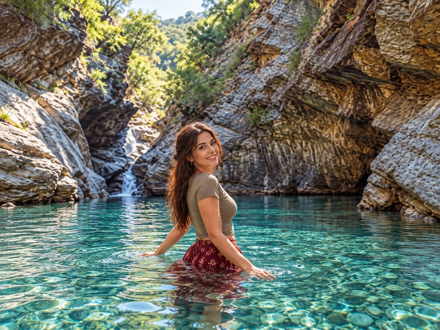
Şahindere Canyon in Kazdağları — the park's most dramatic waterfall gorge.
Kazdağları (Mount Ida of classical mythology, where Paris judged the three goddesses) covers the upper watershed between the Aegean coast and Balıkesir's interior plains. The national park protects a forest ecosystem with over 800 documented plant species across the full mountain range — one of the highest plant biodiversity counts in Turkey for a temperate forest habitat.
For most visitors, the park is entered through Şahindere Canyon, a narrow gorge near Adatepe village (above Küçükköy) with two main waterfalls and a well-marked walking route through the canyon floor. The path is shaded, follows a stream and is manageable for most walkers in normal fitness. The canyon is the busiest part of the park, particularly on weekends between May and October.
Higher into the mountains, longer trekking routes reach the Karataş summit plateau (1774 m). The pine, oak and fir forests thin out above 1400 m into sub-alpine scrub.
Sütüven and Hasanboğuldu Waterfalls
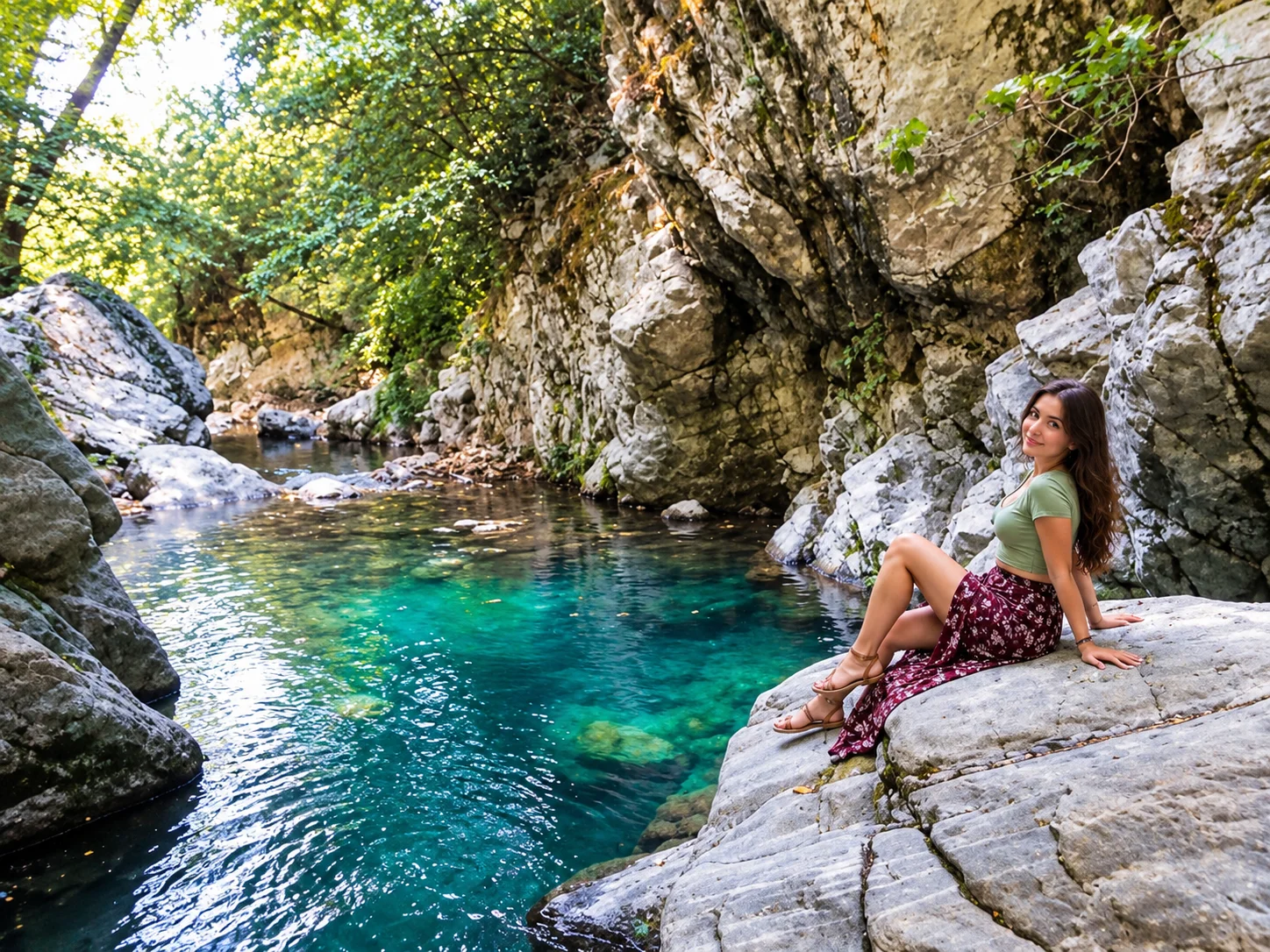
Sütüven Waterfall — the main cascade along the Şahindere Canyon route.
Sütüven Waterfall drops about 22 metres from a fractured basalt ledge and is the most-photographed point in Şahindere Canyon. The falls run year-round, fed by mountain springs. Hasanboğuldu (literally "Hasan drowned," named after a local legend) is the second cascade further up the canyon. Both are accessible from the canyon walking route, with Sütüven the lower and more accessible of the two. The area around Sütüven has picnic tables and a tea garden.
Antandros: A Forgotten Aegean Ancient City
Near the village of Avcılar (close to Altınoluk), the ancient city of Antandros sits on a hillside above the gulf — an Aeolian Greek city with visible city walls, rock-cut tombs, cistern remnants and column fragments. Antandros was mentioned by Thucydides in connection with the Peloponnesian War and was the city from which Aeneas, in some versions of the Aeneid, set sail after the fall of Troy. Excavations have been conducted intermittently since the 1990s. The site is not heavily touristed and offers relatively raw ancient city archaeology in a striking coastal setting.
Burhaniye, Ören and Adramytteion
Burhaniye is a small town on the southern Edremit Gulf, approximately 25 km south of Ayvalık. Its coastal extension Ören is a low-key beach resort with a long sandy beach, a small marina and a quieter pace — largely a domestic Turkish summer destination. Near Burhaniye, the ancient city of Adramytteion (the classical predecessor of modern Edremit) was the administrative centre of the Adramyttene Gulf in antiquity and is referenced in Roman texts.
Bandırma: Gateway and Ferry Hub
Bandırma on the southern Marmara shore is primarily a transit city. It is the terminus of the IDO high-speed sea bus ferry from Istanbul (Yenikapı), making it the fastest gateway to the Marmara coast of Balıkesir from Istanbul — approximately 2 hours on the ferry versus 4–5 hours by road. Most visitors continue by road to Erdek (35 km) or Manyas (45 km).
Manyas Bird Paradise: Turkey's Ramsar Wetland
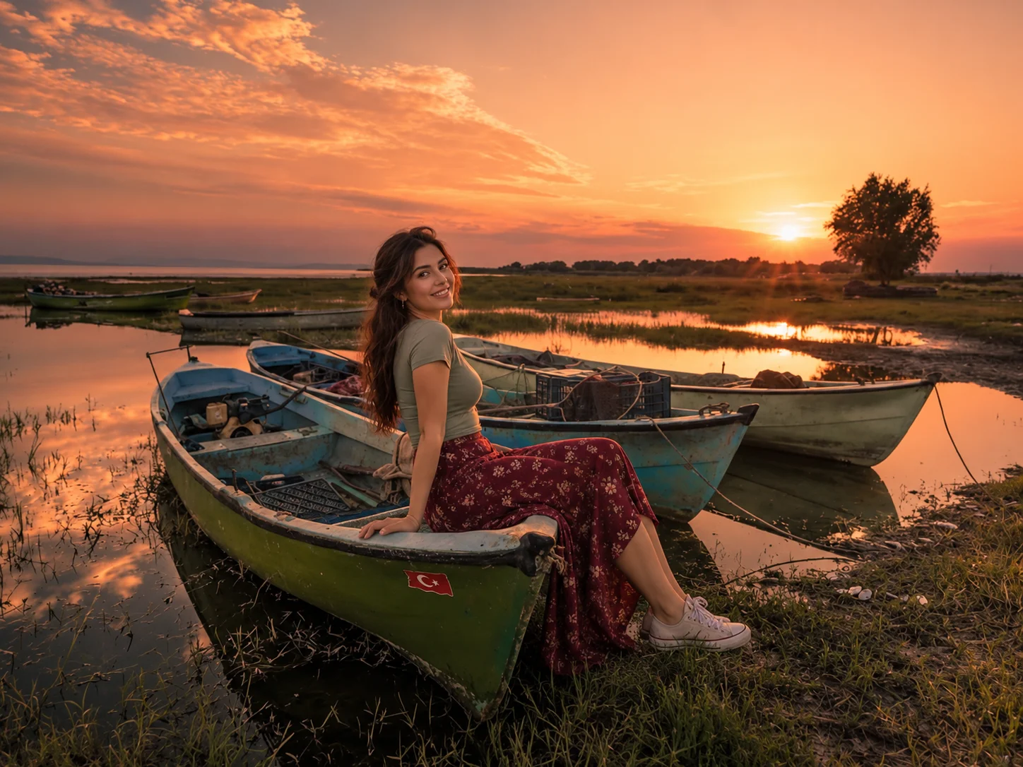
Manyas Kuş Cenneti — a Ramsar-listed wetland on the shore of Lake Manyas.
Manyas Kuş Cenneti (Bird Paradise National Park) occupies the north-western shore of Lake Manyas (Kuş Gölü), an inland freshwater lake fed by the Kocaçay River system. The site is a Ramsar Convention wetland of international importance and one of Turkey's oldest protected nature areas, designated in 1938. Official bird records for the site stand at approximately 260 species — including internationally significant breeding colonies of the Dalmatian pelican, great white pelican, grey heron, night heron, spoonbill and purple heron.
The visitor infrastructure includes a museum, an observation tower and a boardwalk path over the reed beds. The best observation seasons are spring (breeding colony activity, April–June) and autumn (migratory passage, September–November).
Daskyleion: Achaemenid Persian Capital on the Marmara Shore
On the western shore of Lake Manyas, near the modern village of Ergili, the ancient city of Daskyleion was one of the most important administrative centres of the Achaemenid Persian Empire in western Anatolia. From the 6th to 4th centuries BC it served as the capital of the satrapy of Hellespontine Phrygia — the residence of the Persian satraps governing the region. Ongoing excavations (University of Istanbul) have uncovered administrative seals (bullae), ceramics and architectural fragments that document Persian imperial administration of Anatolia. The site has Phrygian and Lydian cultural layers beneath the Achaemenid occupation. Daskyleion is not a well-known tourist site but is a significant one for those interested in Achaemenid history or the Persian-Greek interface in western Anatolia.
Erdek and Kapıdağ Peninsula
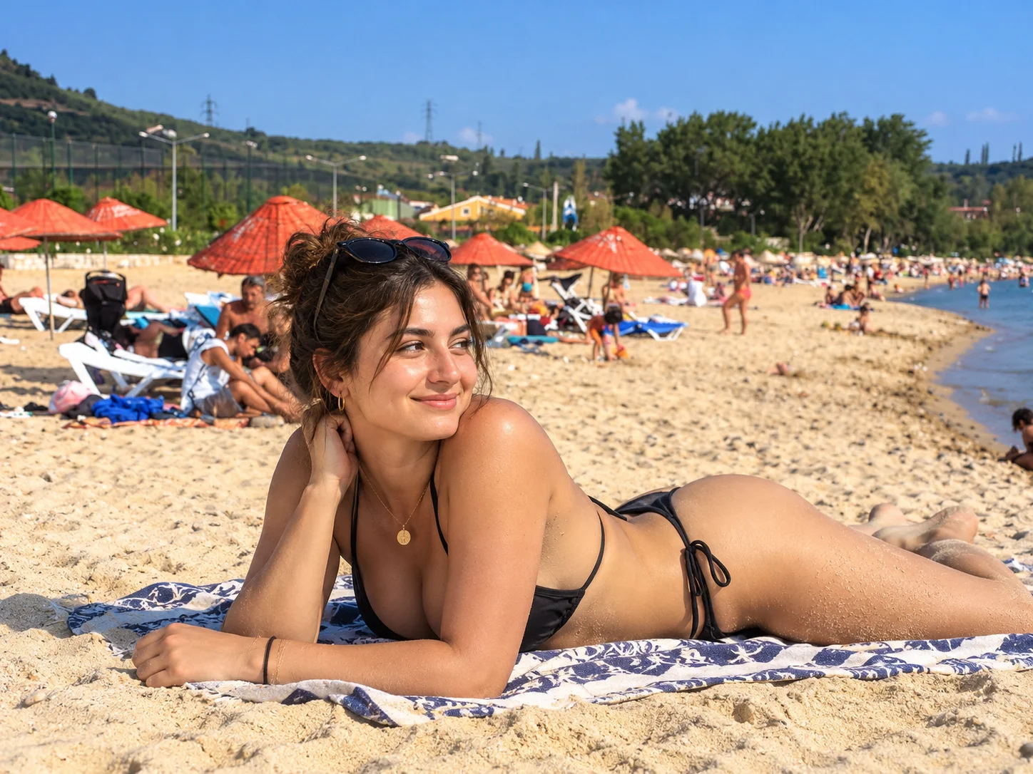
Erdek's seafront — the main gateway to the Kapıdağ Peninsula beaches.
Erdek is the main town on the Kapıdağ Peninsula, a hammer-shaped landmass that juts north into the Sea of Marmara and was historically an island connected to the mainland by accumulated silt. The peninsula's calm Marmara-facing beaches — particularly at Ocaklar, Narlı and Tatlısu — offer gentler, warmer swimming than the Aegean coast, making Kapıdağ a popular destination for families and Istanbul weekenders who arrive via the Bandırma ferry.
Erdek town has a pleasant waterfront, a small marina and a regular ferry service to Marmara Island and Avşa Island. The peninsula's interior is hilly and forested with several walking trails. The village of Ocaklar, a few kilometres east of Erdek, has a quieter beach setting than the main town.
Kyzikos: The Temple of Hadrian and the Sunken City
Near the village of Belkıs, on the northern side of the Kapıdağ Peninsula, the ancient city of Kyzikos was one of the great cities of the ancient Propontis. Founded as a Milesian colony and later an important Roman provincial city, Kyzikos was home to the Temple of Hadrian — a monumental structure ancient sources ranked among the wonders of the Roman world. The temple is largely destroyed, with column fragments and foundation blocks visible in and around the site. The city's remains are partially submerged or buried under agricultural land, but the scale of the visible stonework is impressive. The site lacks formal visitor infrastructure but is accessible from Belkıs village.
Marmara Island: Marble, Byzantine Quarries and the Proconnesian Legacy
Marmara Island lies in the Sea of Marmara — not the Aegean — roughly 20 km north of the Kapıdağ Peninsula and accessible by ferry from Erdek (approximately 1.5 hours) and from Tekirdağ on the European side. It is the largest island in the Sea of Marmara and gives the sea its name: the island's ancient name, Proconnesus, was associated with its white-grey marble, and the Greek/Latin word for marble — marmaron — became the sea's designation.
The Proconnesian marble quarries near the village of Saraylar have been worked continuously since antiquity. Marble from Marmara Island was used in the construction of the Hagia Sophia in Constantinople, in Theodosian forum columns across the empire, and in early Byzantine churches throughout the Mediterranean. Some quarry faces and extraction trenches at Saraylar are accessible and provide a direct visual link to ancient construction at monumental scale. The island's beaches and main settlement are a secondary attraction; the quarry heritage and the island's marble-dust white architecture define its character.
Avşa Island: The Summer Island in the Marmara
Avşa Island (Türkmen Adası) sits in the Sea of Marmara, southeast of Marmara Island and northeast of the Kapıdağ Peninsula. It is reached by ferry from Erdek (approximately 1.5–2 hours) and from Tekirdağ. With a population that swells enormously in summer, Avşa is primarily a beach and summer-house destination for domestic Turkish tourism — particularly Istanbul weekenders. The island's beaches are sandy and the water calm; local Yapıncak grape wine production adds a minor gastronomic note. Avşa should be visited with the understanding that accommodation is limited in July–August without advance booking.
Gönen: Thermal Springs in the Interior
Gönen district, in the inland northeast of the province toward the Bursa border, is one of Turkey's leading thermal spa destinations. The Gönen thermal waters (sodium bicarbonate type) reach temperatures of 78–82°C at source and are used in a cluster of thermal hotels and treatment facilities around the town. Gönen is primarily a domestic health-tourism destination rather than a sightseeing stop, but fits naturally into an extended circuit of the interior province.
Balıkesir Gastronomy: Olive Oil Country and the North Aegean Table
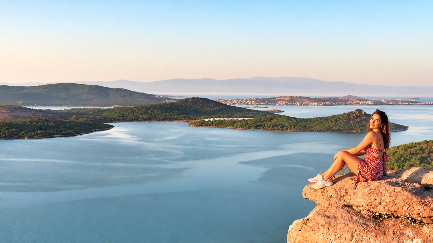
Balıkesir's food identity is shaped by olive oil (one of Turkey's most productive regions), North Aegean seafood and the dairy tradition of the inland plains.
- Höşmerim: a warm dessert of unsalted fresh cheese fried in butter and finished with sugar or honey — the province's best-known sweet, found at bakeries across the region.
- Ayvalık tostu: the local variant of the toasted sandwich, loaded with sucuk (cured sausage), turşu (pickles) and cheese — a street-food staple originating in Ayvalık now found across Turkey.
- Papalina: small Aegean fish in the sardine/sprat family, pan-fried or grilled, eaten seasonally in autumn-winter and closely associated with Cunda Island waterfront restaurants.
- Kaymaklı tarhana: a fermented dried soup base made with yoghurt and grain — the Balıkesir variant uses local kaymak (clotted cream), giving it a richer flavour than standard tarhana.
- Tirit: a traditional dish of meat broth poured over stale bread pieces — a regional identity food eaten particularly in Balıkesir city.
- Sepet peyniri: a basket-moulded brined cheese made from sheep or goat milk (or a blend), named for the wicker basket mould that gives it its net-patterned rind.
- Susurluk ayranı: Susurluk district is nationally known for its dairy industry; local ayran and butter are sold in branded outlets on the Istanbul–Ankara motorway corridor.
Beaches: Region by Region
Balıkesir's beaches divide by character as much as geography:
- Sarımsaklı (Ayvalık coast): long sandy beach, hotel-backed, livelier summer scene.
- Altınoluk (Edremit Gulf): pebble shore, calmer, good access to Kazdağları.
- Akçay (Edremit Gulf): flat-water family beach, promenade.
- Ören (near Burhaniye): sandy, quieter, domestic summer resort.
- Ocaklar / Narlı / Tatlısu (Kapıdağ): calm Marmara water, pebble and sandy mix, family-oriented.
- Avşa Island beaches: sandy, busy in summer, accessible by ferry.
- Marmara Island beaches: smaller coves, calmer, less developed.
Blue Flag status at individual beaches changes annually; verify current certification through TÜRÇEV before planning around it.
Balıkesir at a Glance: Coastal Comparison
| Area | Character | Best for | When to go |
|---|---|---|---|
| Ayvalık / Cunda | Stone town, Greek heritage, olive oil, Aegean seafood | Cultural travel, food, island day trips | Apr–Jun, Sep–Oct |
| Edremit Gulf | Beach resorts, thermal springs, Kazdağları access | Family beach and hiking combo | Jun–Sep (beach), Apr–Jun (forest) |
| Erdek / Kapıdağ | Calm Marmara beaches, ferry hub, ancient ruins | Families, island hoppers, archaeology | Jun–Sep |
Itinerary Suggestions
One Day: Ayvalık and Cunda
Morning in Ayvalık old town — Taksiyarhis Anıt Müzesi, the bazaar lanes, breakfast with local olive oil. Mid-morning: cross to Cunda Island, walk the harbour front, visit the Rahmi M. Koç Museum. Lunch: papalina or grilled fish on Cunda's waterfront. Afternoon: Aşıklar Tepesi and Şeytan Sofrası for views. Evening: back in Ayvalık for mezze.
2–3 Days: Ayvalık and Kazdağları
Day 1 as above. Day 2: drive to Altınoluk or Küçükköy, enter Kazdağları National Park, hike Şahindere Canyon to Sütüven and Hasanboğuldu waterfalls. Day 3 (optional): Antandros ancient city near Avcılar, Edremit Gulf beach.
3–4 Days: Marmara Coast Circuit
Start in Bandırma (ferry from Istanbul). Day 1: Manyas Bird Paradise. Day 2: Erdek, Kapıdağ beaches, Kyzikos ruins at Belkıs. Day 3: ferry to Marmara Island, Saraylar quarries. Optional Day 4: ferry to Avşa Island for beaches; return via Erdek–Bandırma.
Extended: Full Province
Combine all the above with Balıkesir city centre (half day), Gönen thermal (overnight), and the road south into the Assos area of Çanakkale province — the landscapes are continuous and the archaeology deepens. For a multi-day Aegean journey, our Aegean coast guide covers the full stretch south to Bodrum.
Best Time to Visit
April–June is the ideal window for Ayvalık, Kazdağları and the Aegean coast — temperatures are mild, wildflowers are out in the mountains, crowds have not yet arrived and the papalina season is closing. July–August is peak beach season, busy and hot but the best time for island ferries and summer nightlife. September–October is arguably the best overall season: olive harvest begins, temperatures drop, migratory birds arrive at Manyas and the North Aegean sea temperature remains warm. November–March is quiet across the coast but Gönen thermal hotels stay open; Manyas bird observation is also productive through winter for resident and overwintering species.
Getting There and Getting Around
By air: Koca Seyit Airport (EDO) near Edremit serves the Ayvalık/Kazdağları zone with flights from Istanbul and Ankara (approximately 1 hour). For the Marmara coast and Bandırma, Istanbul airports are the practical air gateway.
By road: Istanbul to Ayvalık is approximately 370 km via the E90/D550 — a 4.5–5 hour drive depending on traffic. Istanbul to Bandırma is approximately 200 km (2.5–3 hours). Balıkesir city is roughly central to both coasts, about 100 km from each.
By ferry: The Bandırma IDO ferry from Yenikapı (Istanbul) operates year-round (subject to weather) and reaches Bandırma in approximately 2 hours — significantly faster than road for travellers from the European side of Istanbul.
Within the province: A car is strongly recommended for Kazdağları, the Edremit Gulf resorts, Manyas and Daskyleion. Ayvalık and Cunda are walkable once you arrive; island ferries run from Ayvalık and Erdek. For a comfortable door-to-door road journey, a private car with driver for intercity travel lets you cover the Aegean–Marmara corridor without logistical friction. For Istanbul-based travellers, our car with driver in Istanbul service connects to the Marmara coast destinations directly.