
Ağrı: Mount Ararat, Doğubayazıt and a Borderland Palace
Turkey’s highest peak frames a province that rewards careful planning. Most travellers sleep in Doğubayazıt, then day-trip to Ishak Pasha Palace, Ararat viewpoints, the Durupınar formation and Diyadin’s canyon country—not the provincial capital first.
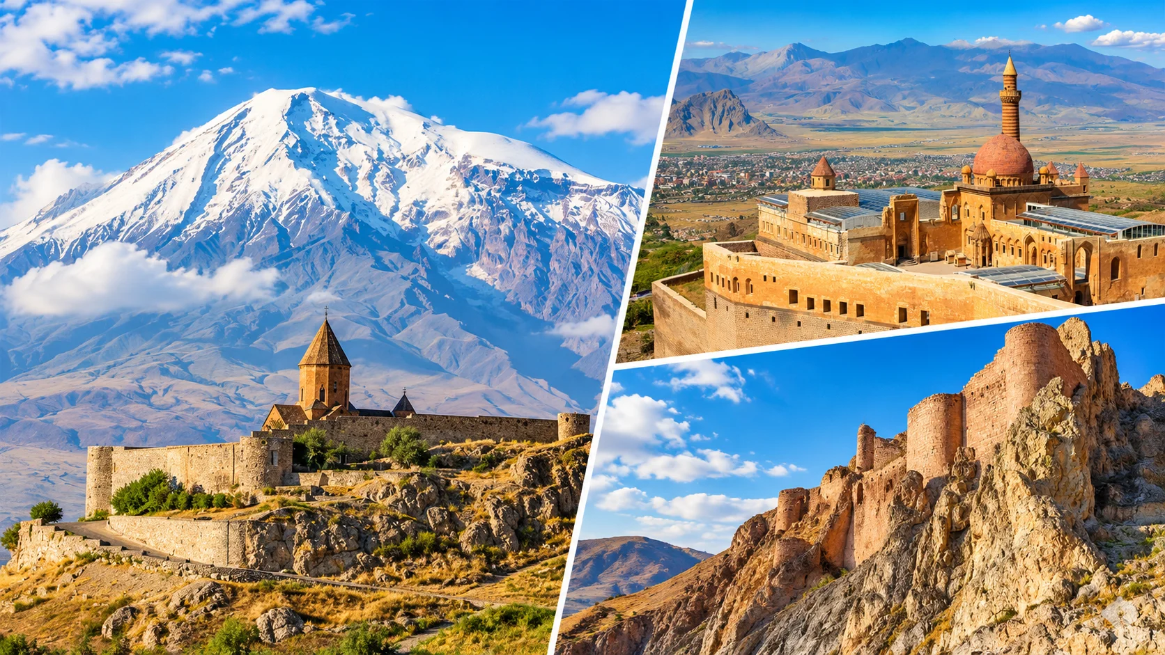
Ağrı Province: Quick Facts
| Item | Detail |
|---|---|
| Tourism base | Doğubayazıt (palace, Ararat views, Durupınar belt)—not Ağrı city centre |
| Districts | Merkez, Doğubayazıt, Diyadin, Eleşkirt, Hamur, Patnos, Taşlıçay, Tutak |
| Highest peak | Mount Ararat / Büyük Ağrı — 5,137 m (Küçük Ağrı / Little Ararat ~3,896 m) |
| National park | Ağrı Dağı National Park (2004); straddles Ağrı (Doğubayazıt) and Iğdır districts |
| Airport | Ağrı Ahmed-i Hani Airport (AJI / LTCO) — domestic; then road to Doğubayazıt |
| Signature monument | Ishak Pasha Palace — UNESCO World Heritage Tentative List (2000), not inscribed |
| Best season for sightseeing | May–October for palace/canyon days; summit attempts are a separate permit expedition |
| Food GI highlights | Doğubayazıt Abdigör köfte, Ağrı Haşıl, Geven honey; Yaprak döner also GI-listed locally |
| Nearby guides | Van · Bitlis · Kars · Turkey overview |
Ağrı on Film
A short visual pass over the province’s landmark belt. Use it for orientation only—permits, seasonal road status and site hours should be checked against official sources before you travel.
Start in Doğubayazıt, Not the City Centre
Ağrı Merkez is the administrative seat and the airport gateway. The sightseeing density—Ishak Pasha Palace, Old Bayezid, Ahmed-i Hani’s tomb, Ararat viewpoints, Durupınar and the so-called Meteor Pit locality—clusters around Doğubayazıt. Base there unless you specifically need city-centre hotels after a late AJI landing.
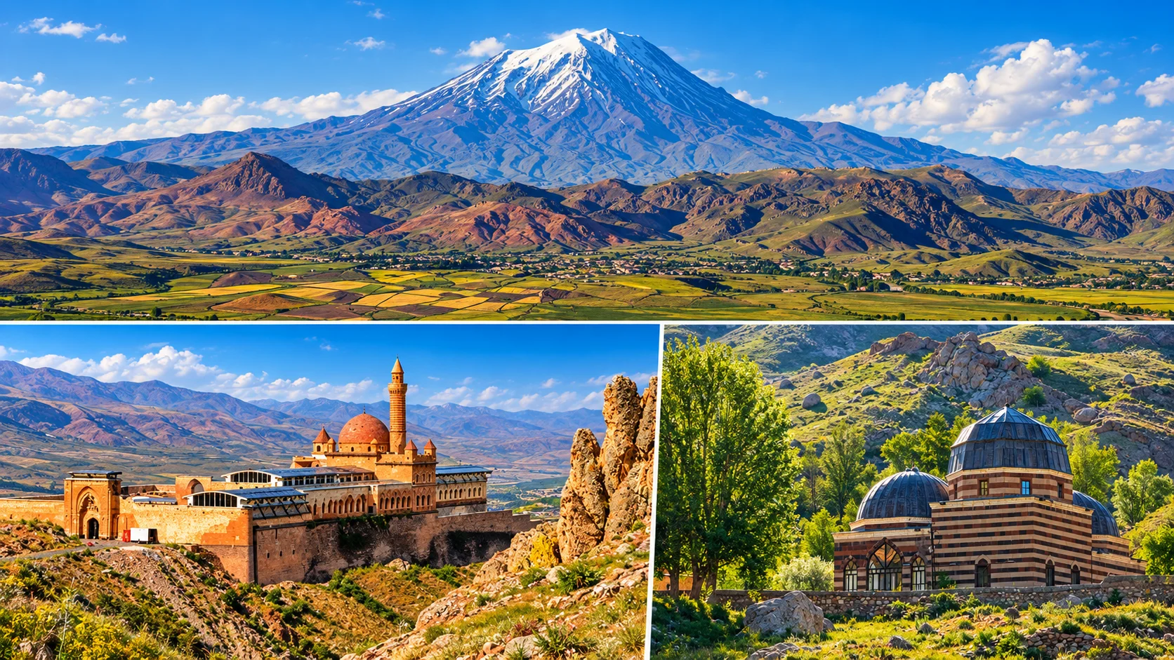
Doğubayazıt as logistics hub
Hotels, restaurants serving Abdigör köfte, and short hops to the palace ridge sit here. Iran-border transit traffic keeps services open year-round, though winter roads still demand buffer time.
AJI first, then the plain
Fly into Ağrı Ahmed-i Hani Airport, then continue by road to Doğubayazıt (plan roughly 1–1.5 hours depending on weather and traffic). Cab Istanbul provides independent private chauffeur transfers—no hotel or park partnership claims.
Viewpoints are not summits
Photographing Ararat from the Doğubayazıt side is a sightseeing day. A summit attempt is a multi-day, permit-controlled climb with guide rules—never fold it into a palace-and-canyon itinerary.
Turkey’s Highest Peak: Geology, Culture, Climb Rules
Büyük Ağrı (5,137 m) and Küçük Ağrı (~3,896 m) form a twin volcanic massif on the Ağrı–Iğdır border zone, with Iran and Armenia within sight on clear days. Official tourism materials treat 5,137 m as the accepted summit height. The massif is a polygenic stratovolcano built of dacite, rhyolite and basaltic products; formation roots are commonly dated to the Early Eocene in regional geology summaries.
- Serdarbulak lava plateau sits between the two peaks.
- Perennial snow and glacier ice persist high on Büyük Ağrı; the snow line and ice extent shift with climate—do not quote a single year-round “from 4,300 m” as dogma without seasonal context.
- The 1840 Ağrı / Ahora Gorge disaster is widely described as a catastrophic flank event involving quake and phreatic/explosive activity with heavy loss of life—classify carefully; it is not a simple tourist “last eruption” anecdote.
- First recorded modern ascent: Friedrich Parrot with Khachatur Abovian, 1829. Notable later mark: Bozkurt Ergör’s 1970 winter solo. Closures and reopenings (including 1990s security controls) shaped access; the mountain entered national-park status in 2004.
Permits, timing, south route
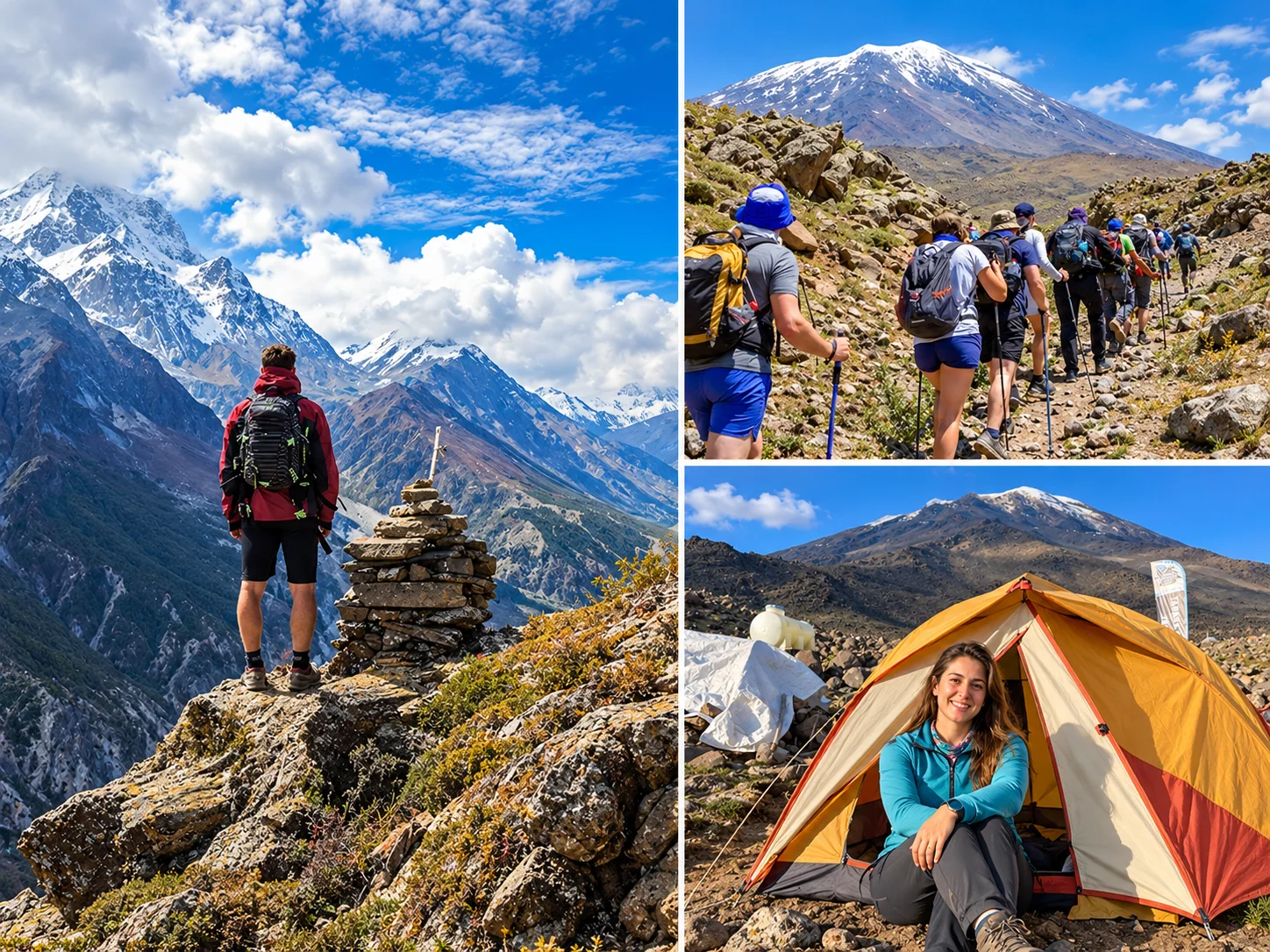
Ağrı Governorship’s updated 2026 practice circular keeps climbs permission-based. Domestic applications generally need at least 10 days; foreign applications at least 30 days, via Doğubayazıt District Governorship channels (email, in person, agency or fax as published). A mihmandar/guide requirement, risk forms and equipment checks apply. Classic approach: Doğubayazıt – Topçatan – Eli Çiftliği south face, with camps commonly described around 3,200 m and 4,200 m. Weather or emergency orders can cancel ascents.
Ararat, Masis, Çiyayê Agirî
Turkish Ağrı Dağı, Armenian Ararat/Masis, Kurdish Çiyayê Agirî (“Fire Mountain”), Persian Kūh-e Nūḥ (“Noah’s Mountain”) show how densely the mountain is storied. Biblical traditions link the ark to the “mountains of Ararat”; Qur’anic tradition names al-Judi (Cudi). Local folklore also keeps the “two sisters” tale for the twin peaks and literary retellings such as Yaşar Kemal’s Ağrı Dağı Efsanesi. Treat faith narratives as culture—not as archaeological proof.
Summit climbing is outside ordinary sightseeing. The day itineraries below stay on palace, viewpoint, lake and canyon circuits.
Ishak Pasha Palace: Tentative UNESCO, Ottoman Border Architecture
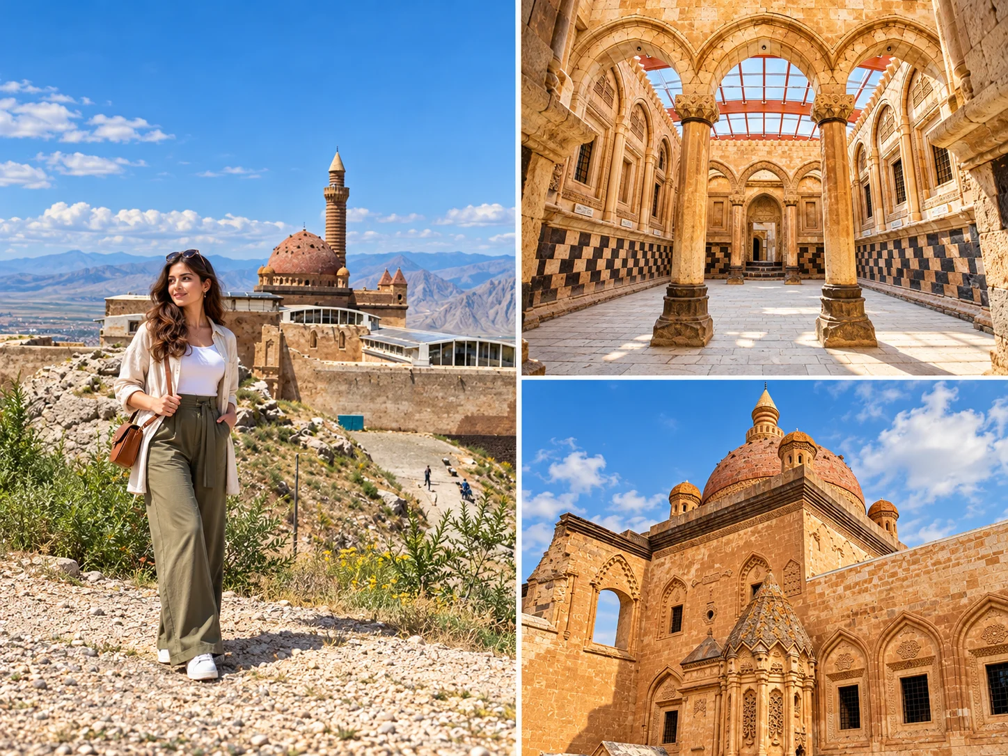
About 5 km east of Doğubayazıt town, Ishak Pasha Palace crowns a strategic terrace of roughly 7,600 m². UNESCO lists it on the World Heritage Tentative List (submitted 2000)—it is not an inscribed World Heritage Site. Museum guidance describes a late Ottoman complex that mixes Ottoman, Persian and Seljuk vocabularies rather than repeating Topkapı’s capital model alone.
- Construction traditionally associated with Çolak Abdi Pasha and later II. Ishak Pasha of the Çıldıroğulları line; the Harem door inscription is commonly read as H.1199 / 1784 for the late finishing phase (works often described from the late 17th century).
- Programme includes courts, mosque, harem, selamlık/divanhane rooms and service wings—visit it as a külliye-scale ensemble.
- Eastern portal reliefs are frequently highlighted for Seljuk-inflected stone carving; post-classical westernising taste also appears in ornament.
- Heating anecdotes (hypocaust-like ducts) circulate in popular guides—present as interpreted building technology, not proven spa marketing.
- Hours: muze.gov.tr baseline opening 09:00–17:00 (ticket desk earlier close), typically open daily with MüzeKart for eligible Turkish visitors. KVMGM lists a 2026 summer extension to 19:00 (1 May–1 Oct). Confirm the day you go.
Castle Ridge, Ahmed-i Hani and Durupınar
Doğubayazıt Castle & Old Bayezid Mosque
On Belleburç rock southeast of town—near the palace approach—stands the ruined castle long tied to Urartian rock-cut tombs and later medieval reuse. Popular lists sometimes split “Urartu Castle” and “Doğubayazıt Castle”; for visitors they are the same historic defensive ridge, not two unrelated ticketed museums. Below the rock, Eski Bayezid Camii (Old Bayezid Mosque) sits on a terraced slope; access/condition can be restricted—check locally before climbing unstable sections.
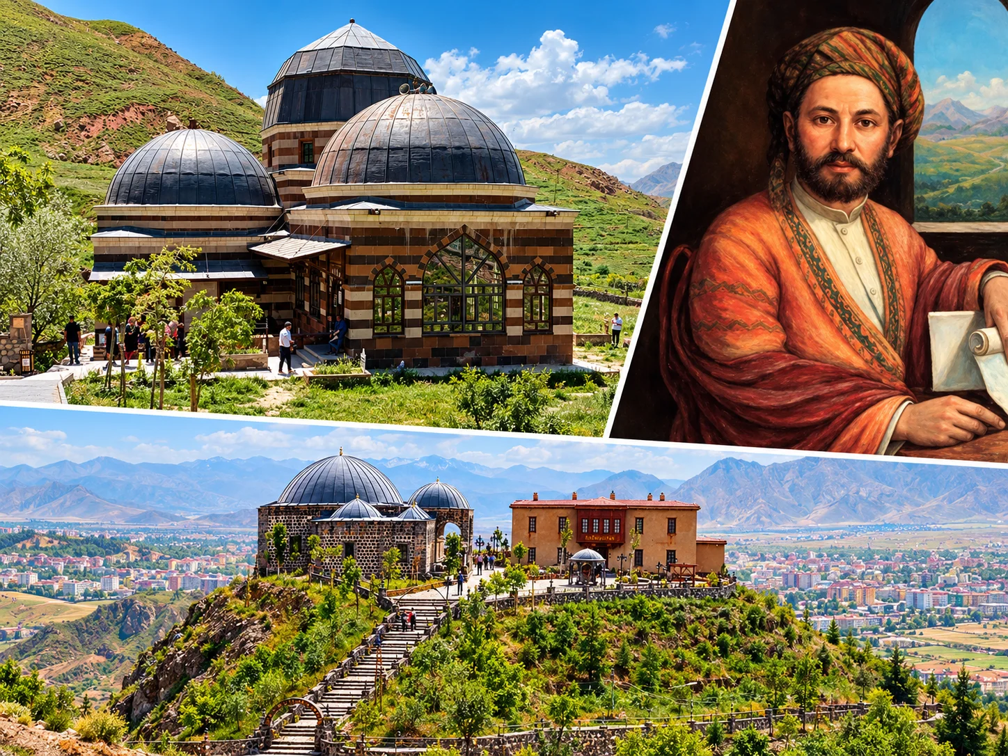
Ahmed-i Hani Tomb
Ahmed-i Hani (Ehmedê Xanî)—poet, scholar and author associated with Mem û Zîn—is commemorated in Doğubayazıt. The tomb and nearby cultural sites (including the Ahmed-i Hani City Museum in local inventories) are quiet stops after the palace. The provincial airport also carries his name.
Durupınar (“Noah’s Ark” site)
The boat-shaped Durupınar formation near Telçeker/Üzengili draws faith tourism. Geological work on the Telçeker mass-flow/landslide system explains the ridge as a natural landform—not a verified ark excavation. Visit for landscape and cultural history; present it as a faith-associated landform, not an archaeological discovery.
“Meteor Pit,” Ice Cave, Balık Lake and Diyadin
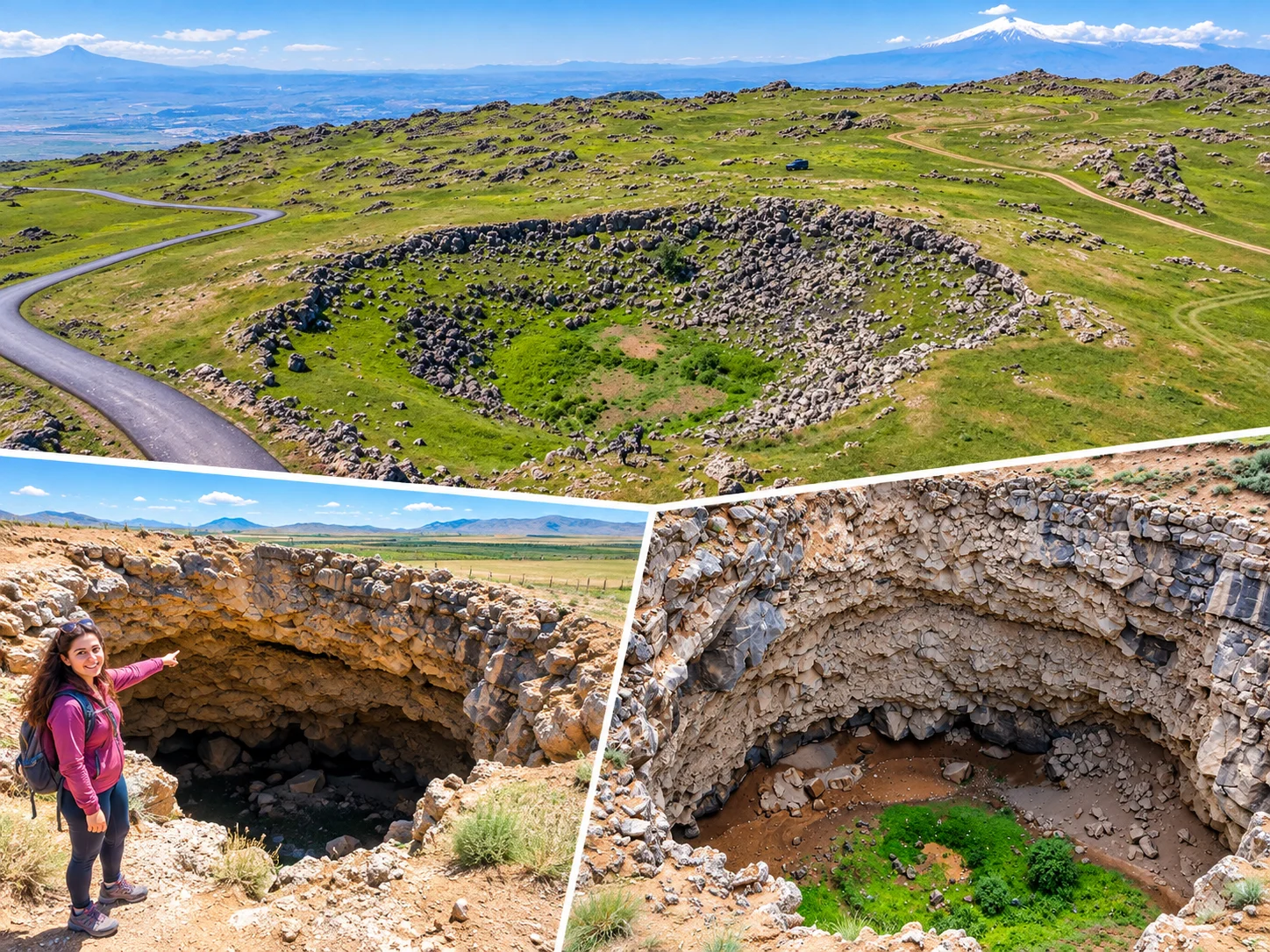
Near Gürbulak on the Iran approach, the pit marketed for decades as a giant meteor crater is recorded in Turkey’s Culture Portal as a karstic depression. Geomorphology studies (including Van YYÜ fieldwork reported in national press) argue for an obruk/sinkhole origin and reject impact-crater diagnostics. Skip ranking claims that treat the pit as a major impact crater. Keep the local name with that scientific caveat.
On the same broader volcanic/lava-tunnel landscape near Hallaç village, the Ice Cave (Buz Mağarası) holds seasonal ice on basalt blocks inside an elliptical depression roughly described as ~100 × 50 m and ~8 m deep. Footwear and local guidance matter; it is not a polished show-cave.
Balık Lake
Between Taşlıçay and Doğubayazıt, Balık Lake is a high, cold-water picnic and birding stop. Expect strong sun, wind and thin air; swimming is not the main draw. Winter ice and spring bird numbers change the mood completely.
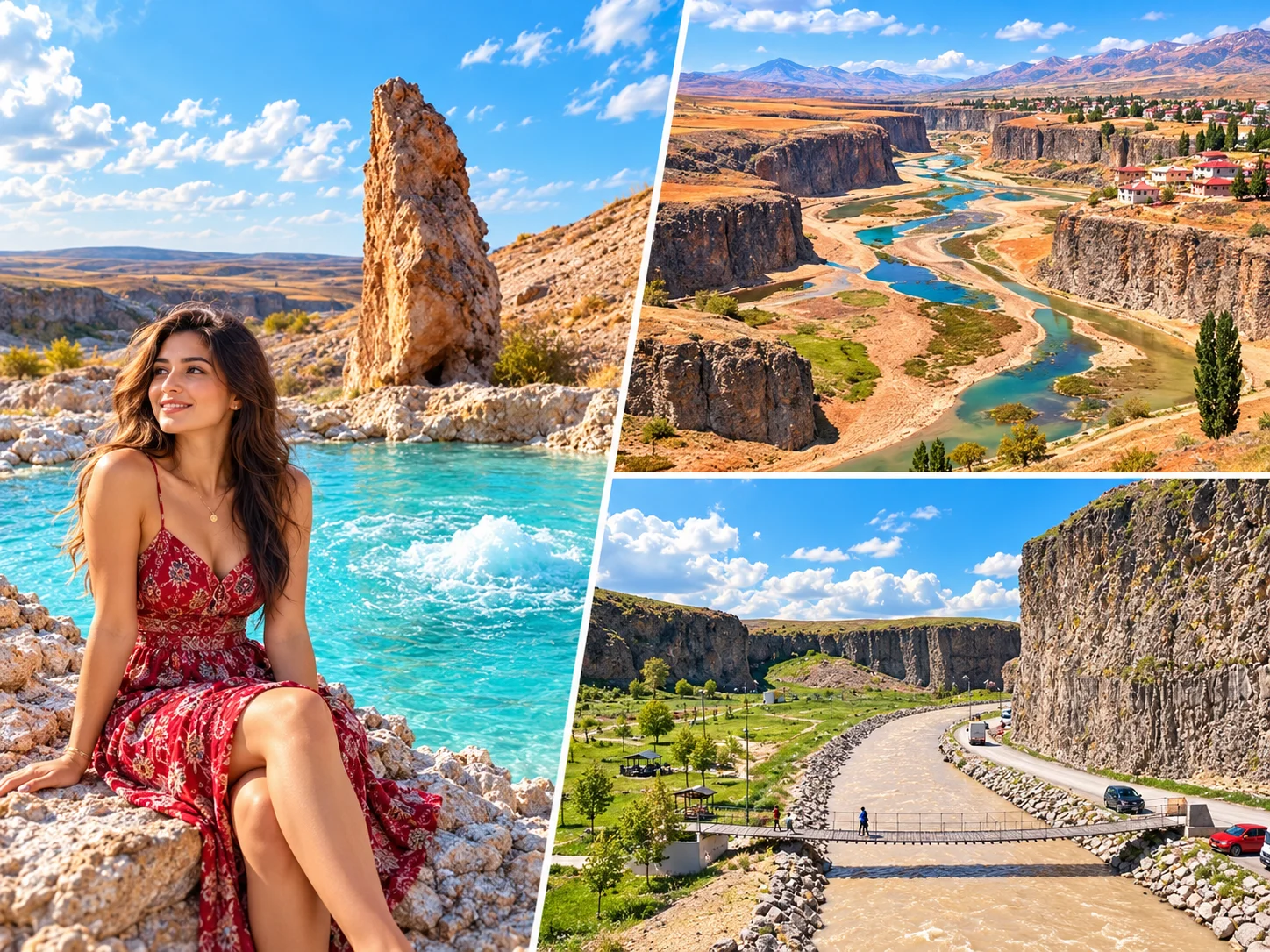
Hot springs, canyon, Kudret Bridge
Diyadin combines geothermal pools with Murat/Diyadin canyon walks and the natural rock arch called Kudret Köprüsü. Market the waters as thermal leisure—without therapeutic promises.
Keşişin Bahçesi & Tendürek
Keşişin Bahçesi is a green pocket below old Doğubayazıt, tied in local lore to Kerem ile Aslı. Tendürek lava fields toward Çaldıran are stark volcanic terrain—access and safety vary; do not treat them as casual roadside stops without local advice.
Ağrı District Guide (Correct Locations)
| District | Highlights | Who it suits | Time | Note |
|---|---|---|---|---|
| Doğubayazıt | Ishak Pasha, castle ridge, Ahmed-i Hani, Durupınar, Meteor Pit locality, Ice Cave, Ararat views | First-time visitors | 2–3 days core | Primary tourism base |
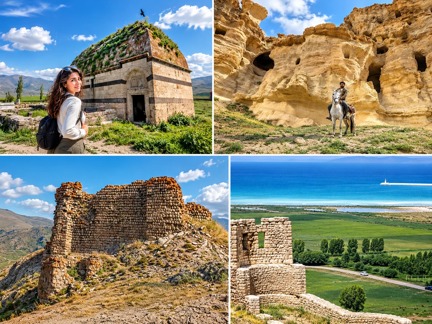
| Diyadin | Kaplıcalar, canyon, Kudret Bridge, Meya (Günbuldu) rock-cut settlement | Nature + thermal leisure | 1 day | Meya is Diyadin—not Tutak |
| Hamur | Hamur Kümbeti (late Ottoman ~1812–13), Şoşik / Karlıca Castle | Architecture side trips | Half–1 day | Şoşik is Hamur—not Eleşkirt |
| Taşlıçay | Balık Lake approaches | Picnics, photography | Half day | Pair with Doğubayazıt lodging |
| Patnos | Girik Tepe and Urartian-period archaeology (Aznavurtepe is a separate research locus—do not conflate casually) | Archaeology-minded travellers | Half day+ | Ruin field, not a polished museum loop |
| Eleşkirt | Güneykaya ski area (redevelopment / long idle—verify before planning) | Winter sports only if open | Seasonal | Do not assume 2026 operations |
| Ağrı Merkez | Airport logistics, city hotels, provincial services | Flight connections | Transit night | Secondary to Doğubayazıt for sightseeing |
| Tutak | Rural district stops | Through-routes | Optional | Do not list Meya here |
Vague “Üç Kilise” pointers without a precise village fix are omitted until a locatable site can be verified.
Who Lived Here, From Urartu to the Republic
Ağrı sits on a long frontier corridor between Anatolian highlands and the Iranian plateau. Travel writing often jumps straight to Ararat myths; the ground story is a sequence of fortresses, caravan roads and border administrations.
- Regional prehistory is commonly sketched through Hurrian and later Mitanni horizons before the Iron Age fortress culture of Urartu left the clearest monumental footprint—rock-cut tombs and strongpoints around Doğubayazıt and Patnos.
- Classical and late antique centuries saw Median/Achaemenid, Hellenistic and Roman–Sasanian frontier turnover; the high road remained more strategic than urban.
- Medieval layers include Byzantine border pressure, then Seljuk, Ilkhanid, Kara Koyunlu and Ak Koyunlu power cycles. Local castle lore (including Şoşik) often sits in this medieval military landscape.
- Ottoman incorporation after the 1514 Çaldıran campaign locked the Bayezid / Doğubayazıt belt into a Silk Road and border-security role—the political backdrop for the later Ishak Pasha complex.
- Republican Ağrı remains a multi-ethnic eastern province. Use careful language for community history; this guide does not flatten the region into a single identity slogan.
What to Eat in Ağrı
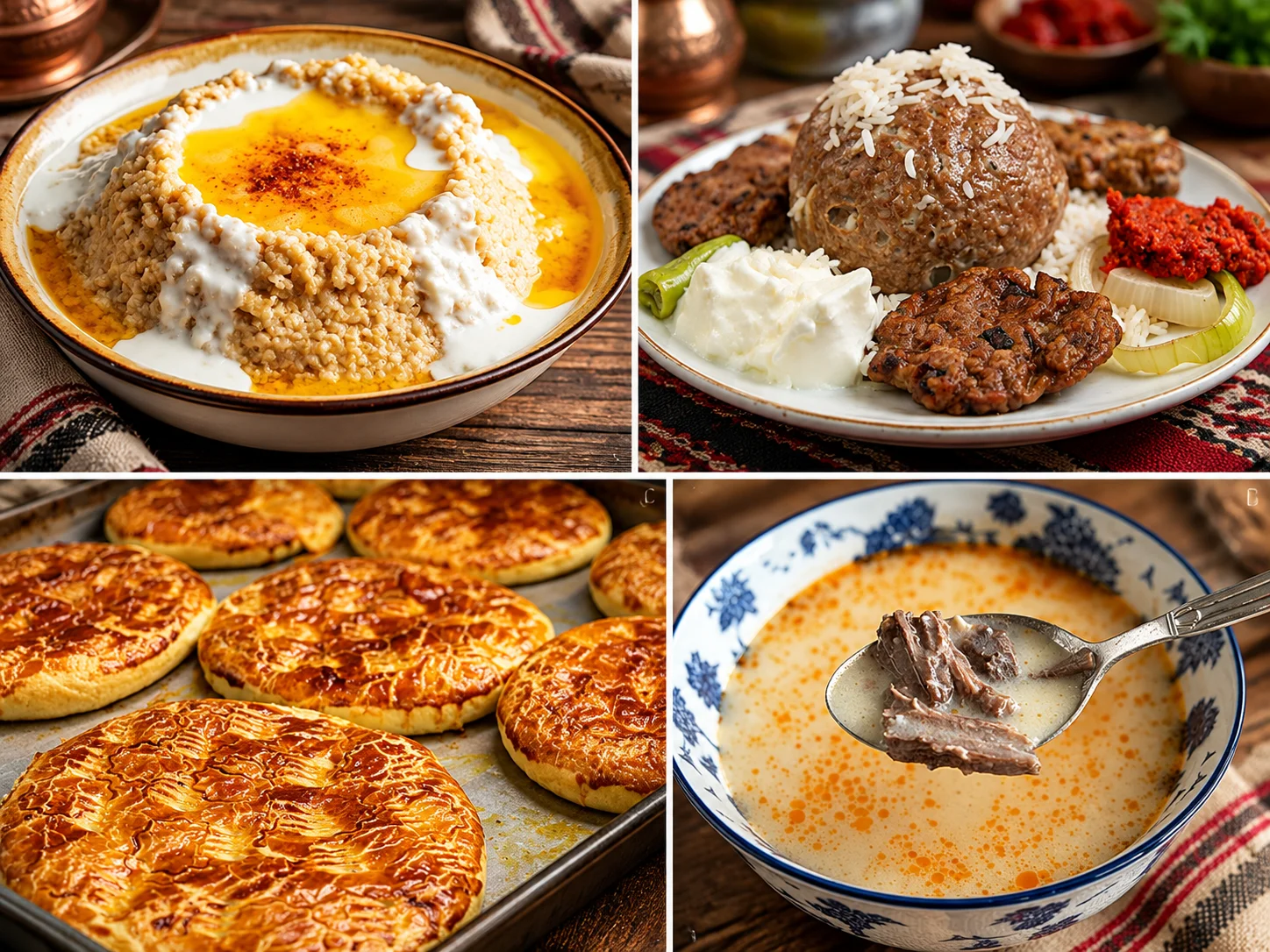
Highland Ağrı cooking is meat-forward and winter-wise. Several products appear in the SERKA / TÜRKPATENT geographical-indication ecosystem—cite them as protected local names, not health products.
- Doğubayazıt Abdigör köfte — signature boiled köfte GI; lean beef, onion, egg, flour.
- Haşıl — pounded wheat porridge finished with butter; GI-listed comfort staple.
- Hengel — large dumpling pieces with yogurt and hot butter.
- Halise — long-cooked meat and wheat; ceremonial/wedding associations.
- Keledoş — spring-herb, chickpea and meat stew.
- Göşteberg — slow bone-in lamb dish, often with rice.
- Hasude — butter, flour and grape molasses sweet.
- Çiriş ketesi — flatbread/pastry with spring çiriş greens.
- Geven honey and Ağrı yaprak döner — also appear on local GI lists; order for taste, not “medicinal” claims.
Where to Sleep: Doğubayazıt vs Ağrı Merkez
| Area | Examples checked on 2026 booking surfaces | Fit |
|---|---|---|
| Doğubayazıt | Tehran Boutique Hotel, Hotel Ararat, Butik Ertur, Grand Ağa, Simer Hotel, Nuh Hotel | Best for palace/Ararat days |
| Ağrı Merkez | Grand Cenas Hotel, Hatemoğlu Hotel (also listed by provincial lodging pages) | Airport nights, city errands |
| Camping / alternative | Seasonal camp/caravan options appear around Doğubayazıt—verify opening months | Summer self-drive |
Hotel names and availability change; Cab Istanbul does not operate or partner these properties. Reconfirm on your travel dates. No prices published here.
Ağrı Itineraries: 1, 2, 3 and 4 Days
| Day | Route | Highlights |
|---|---|---|
| 1 day | Doğubayazıt core | Ishak Pasha Palace · castle ridge / Old Bayezid exterior · Ahmed-i Hani Tomb · Ararat viewpoint photography (no summit) |
| 2 days | Core + Durupınar belt | Day 1 as above · Day 2 Durupınar formation · Meteor Pit locality (with geology caveat) · Ice Cave if conditions allow · Abdigör dinner |
| 3 days | Add Diyadin | Days 1–2 · Diyadin canyon + Kudret Bridge · thermal leisure pools · Meya (Günbuldu) rock-cut rooms |
| 4 days | Add Hamur / Balık Lake | Days 1–3 · Hamur Kümbeti · Şoşik/Karlıca Castle · Balık Lake picnic · buffer for weather or AJI flight timing |
Summit climbs, Tendürek remote lava traverses and any closed ski-area plans are excluded from these sightseeing days. Private chauffeur routing helps when palace, border-approach pits and Diyadin sit on different spokes from one Doğubayazıt hotel.
Private Chauffeur for the Doğubayazıt Circuit
Cab Istanbul is an independent private-chauffeur operator. Use us for AJI airport pickup, Doğubayazıt hotel transfers and full-day palace–canyon routing—not as a hotel, guide bureau or national-park partner. If your journey begins with a connection through Istanbul Airport, you can also arrange a separate Istanbul Airport transfer before your domestic flight.
Ağrı Travel FAQ
Where should I stay in Ağrı Province?
For sightseeing, base in Doğubayazıt. Use Ağrı Merkez mainly when you need the airport or city errands.
What is the official airport name?
Ağrı Ahmed-i Hani Airport (IATA AJI, ICAO LTCO), operated under DHMİ. It is a domestic gateway.
How high is Mount Ararat?
Official Turkish tourism and park materials cite 5,137 m for Büyük Ağrı. Küçük Ağrı is about 3,896 m.
Can I climb Ararat on a sightseeing day?
No. Summit attempts need advance permits, guide/mihmandar rules and multi-day camps. Day visitors should stick to viewpoints from the Doğubayazıt side.
What are the 2026 climb application windows?
Governorship communications for the updated circular describe at least 10 days for domestic and 30 days for foreign applications through Doğubayazıt District Governorship channels. Always re-read the current circular before paying deposits.
Is Ishak Pasha Palace a UNESCO World Heritage Site?
It is on UNESCO’s Tentative List (2000). It is not an inscribed World Heritage property.
Who built Ishak Pasha Palace and when?
Works are tied to Çolak Abdi Pasha and later II. Ishak Pasha; the Harem inscription is commonly dated H.1199 / 1784 for the late phase, with earlier late-17th-century starts in museum narratives.
What are Ishak Pasha visiting hours in 2026?
Museum portal baseline is roughly 09:00–17:00. KVMGM lists a summer 2026 extension to 19:00 (1 May–1 Oct). Ticket desks close before site close; MüzeKart rules apply for eligible visitors.
Was Noah’s Ark found at Durupınar?
No verified ark has been archaeologically demonstrated. Durupınar is a boat-shaped natural formation tied to faith tourism and explained in geological literature via landslide/mass-flow contexts.
Is Doğubayazıt Meteor Çukuru a meteor crater?
Culture Portal records it as a karstic depression; academic geomorphology arguments favour an obruk/sinkhole. Do not rank it among major impact craters.
Are Urartu Castle and Doğubayazıt Castle different places?
For travellers they describe the same Belleburç ridge complex with Urartian rock-cut traces and later reuse beside the Old Bayezid / palace belt—not two separate theme-park sites.
Where are the Meya caves?
In Günbuldu village, Diyadin—rock-cut rooms, sanctuaries and tombs—not in Tutak.
Is Hamur Kümbeti Seljuk?
No. Surviving kitabe evidence and conservation studies place it in the late Ottoman period around 1812–1813.
Where is Şoşik / Karlıca Castle?
In Hamur district (Karlıca / Şoşik village)—not Eleşkirt.
Where is the Ice Cave?
Near Hallaç on the Doğubayazıt side of Küçük Ağrı’s southern foot, on the broader lava-tunnel landscape also associated with the Meteor Pit locality.
Is Güneykaya Ski Centre open in 2026?
Treat status as unverified / redevelopment. Provincial announcements have described a long idle period and restart plans—confirm operations before building a ski trip.
Do Diyadin hot springs cure disease?
No medical claims belong in a travel page. Enjoy them as thermal leisure facilities and follow on-site safety rules.
What food is geographically indicated?
Doğubayazıt Abdigör köfte is the headline GI. Ağrı Haşıl, Geven honey and Ağrı yaprak döner also appear in regional GI listings—verify menus locally.
How many days do I need?
One focused Doğubayazıt day covers the palace belt. Two days add Durupınar/Ice Cave. Three add Diyadin/Meya. Four add Hamur and Balık Lake with weather buffer.
When is the best time to visit?
May–October suits most sightseeing. Winter is harsh, beautiful and slower on mountain roads. Climb season is a separate decision under permit rules.
Who lived historically in the Ağrı region?
Layers include Hurrian/Mitanni contexts in broader regional prehistory, a strong Urartian fortress landscape, successive Iranian and Hellenistic/Roman frontier turns, medieval Islamic dynasties, and Ottoman incorporation after the 1514 Çaldıran campaign. Modern Ağrı is a multi-ethnic eastern Anatolian province; avoid simplistic single-people slogans.
What is the mountain’s legend in brief?
Faith traditions link Ararat or Cudi to the flood landing; Kurdish and Turkish folk/literary cycles add love-and-resistance stories; a twin-peak “two sisters” tale explains the double silhouette. Keep legend and geology in separate sentences.
Does Cab Istanbul partner with Ağrı hotels or the national park?
No. Cab Istanbul offers independent private chauffeur and intercity transfer services only.
Can I combine Ağrı with Van or Bitlis?
Yes—many east-loop trips pair Doğubayazıt with Van or continue toward Bitlis and Kars. See also the national Turkey travel guide.
Is Tendürek safe as a casual stop?
Not casually. Lava-field tracks, weather and borderland remoteness require local advice, suitable vehicles and daylight discipline.
Girik Tepe or Aznavurtepe—which Patnos site should I visit?
They are distinct archaeological loci in the Patnos area. Do not merge them into one “Patnos castle museum” story; ask locally which mounds are practical to approach on your date.