
Cappadocia · Nevşehir core + nearby provinces
Underground cities in Cappadocia are multi-level refuge settlements carved into soft volcanic tuff—stables, kitchens, storage, chapels and rolling stone doors linked by narrow galleries. Official museum texts estimate roughly 150–200 subterranean settlements of various sizes; only a handful are prepared for visitors. This English 2026 guide compares Derinkuyu, Kaymaklı, Özkonak, Mazı, Tatlarin and secondary sites, with honest notes on closed Özlüce, Aksaray’s Gaziemir and Kayseri’s Ağırnas. Cab Istanbul is intercity car with driver transport only—not tickets, tours or guiding.
Kaymaklı and Derinkuyu sit inside the UNESCO Göreme National Park and the Rock Sites of Cappadocia property that explicitly includes those subterranean cities—they are not separate one-site UNESCO listings. Confirm hours and tickets at the gate; this page does not publish unverified prices.
Compare
Underground cities at a glance
| Underground City | Location | Main Feature | Visitor Access | Suggested Time |
|---|---|---|---|---|
| Derinkuyu | Derinkuyu, Nevşehir | Deep shaft city; ~85 m cited depth | Open (~10% of complex) | 45–90 min |
| Kaymaklı | Kaymaklı, Nevşehir | Wider rooms; multi-level warren | Open (commonly 4 levels) | 45–90 min |
| Özkonak | ~14 km from Avanos | Long galleries; floor communication holes | Open (official museum site) | 45–75 min |
| Mazı | Mazı, Ürgüp area | Quieter alternative; millstone doors | Open after redevelopment (partial levels) | 45–60 min |
| Tatlarin | Acıgöl / Tatlarin, Nevşehir | Spacious halls on a hill (“Castle”) | Partial open—confirm locally | 45–75 min |
| Özlüce | W of Kaymaklı, Derinkuyu district | Basalt-arched entry fabric | Closed (collapse / incomplete clearing) | — |
| Gaziemir | Güzelyurt, Aksaray | Large chambers off the Göreme core | Confirm privately operated access | 1–1.5 h + travel |
| Gökçetoprak (Sivasa) | Gülşehir, Nevşehir | Different geology; limited excavated levels | Soft / limited visitor infrastructure | Specialist stop |
| Ağırnas | Melikgazi, Kayseri | Underground rooms + Sinan hometown | Outside main Cappadocia day loop | Half day from Kayseri |
Itineraries
Suggested underground-city routes
| Route | Cities | Approx. Time | Practical Note |
|---|---|---|---|
| Classic first visit | Derinkuyu or Kaymaklı (one only) | Half day from Göreme/Uçhisar | Most group tours include just one |
| Deep + wide contrast | Kaymaklı then Derinkuyu | Full day (rushed) | ~10 km apart; energy-heavy for claustrophobic visitors |
| North quieter option | Özkonak + Avanos pottery town | Half–full day | Pairs with Avanos |
| Ürgüp south | Mazı | Half day | Fewer coaches than Derinkuyu |
| Beyond the core | Gaziemir (Aksaray) or Ağırnas (Kayseri) | Full day each | Not the same as a Göreme valley morning |
For broader valley and viewpoint planning, see Cappadocia tours, Uçhisar and Göreme Open Air Museum.
Regional landscape context—not a substitute for museum rules underground.
How they work
Ventilation, wells, kitchens and stone doors
Soft tuff made deep carving possible. Official descriptions emphasise refuge under attack and a more stable climate than the surface. Typical features include upper-level stables (animals stay near the entrance), collective kitchens with tandır ovens, grape-processing spaces, storage rooms, chapels or schools, long ventilation shafts that may double as wells, and circular millstone doors rolled across corridor mouths. Do not collapse the chronology into a single “Hittite-built” origin story—communities expanded and reused these systems across many centuries.
Derinkuyu
Derinkuyu Underground City — depth and drama
Derinkuyu, south of Nevşehir on the Niğde road, is the site most visitors mean by “deepest underground city.” Official museum text cites about 85 metres of depth, a tall ventilation shaft also used as a well, stables, cellars, dining halls, churches and a missionary-school space on an upper floor. Only a fraction of the warren—about ten percent—is open; popular “18 floors / 20,000 people” figures remain estimates, not desk facts.
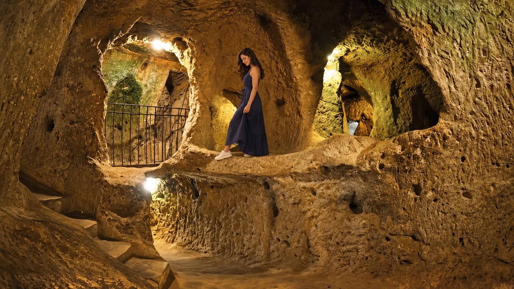
Plan 45–90 minutes. Night visits may exist under special museum programmes for eligible MüzeKart holders—confirm on muze.gov.tr before relying on them. Foreigner ticket prices change; buy at the desk.
Visual only—path closures and lighting change with conservation work.
Kaymaklı
Kaymaklı Underground City — wider rooms, fewer deep drops
Kaymaklı, roughly 20 km from Nevşehir and about 10 km north of Derinkuyu, spreads more horizontally. Visitors commonly walk four open levels of stables, living spaces, storage and church chambers with low ceilings. It is included with Derinkuyu in the UNESCO Cappadocia rock-sites property—not a solo inscription. Claims of a continuous secret tunnel linking the two cities remain unproven; treat them as folklore.
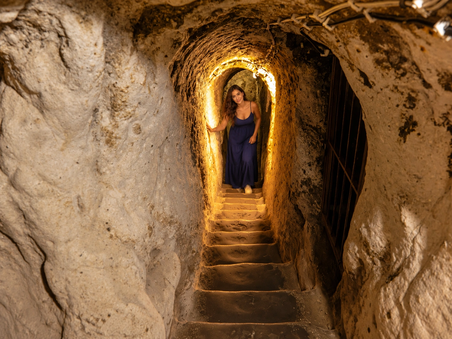
Use for atmosphere; follow on-site barriers and one-way arrows.
Quieter Nevşehir options
Özkonak, Mazı and Tatlarin
Özkonak, about 14 km from Avanos on the slopes of Mount İdiş, is an official museum site with long galleries and distinctive narrow communication holes between floors when doors are sealed. It pairs well with a pottery stop in Avanos.
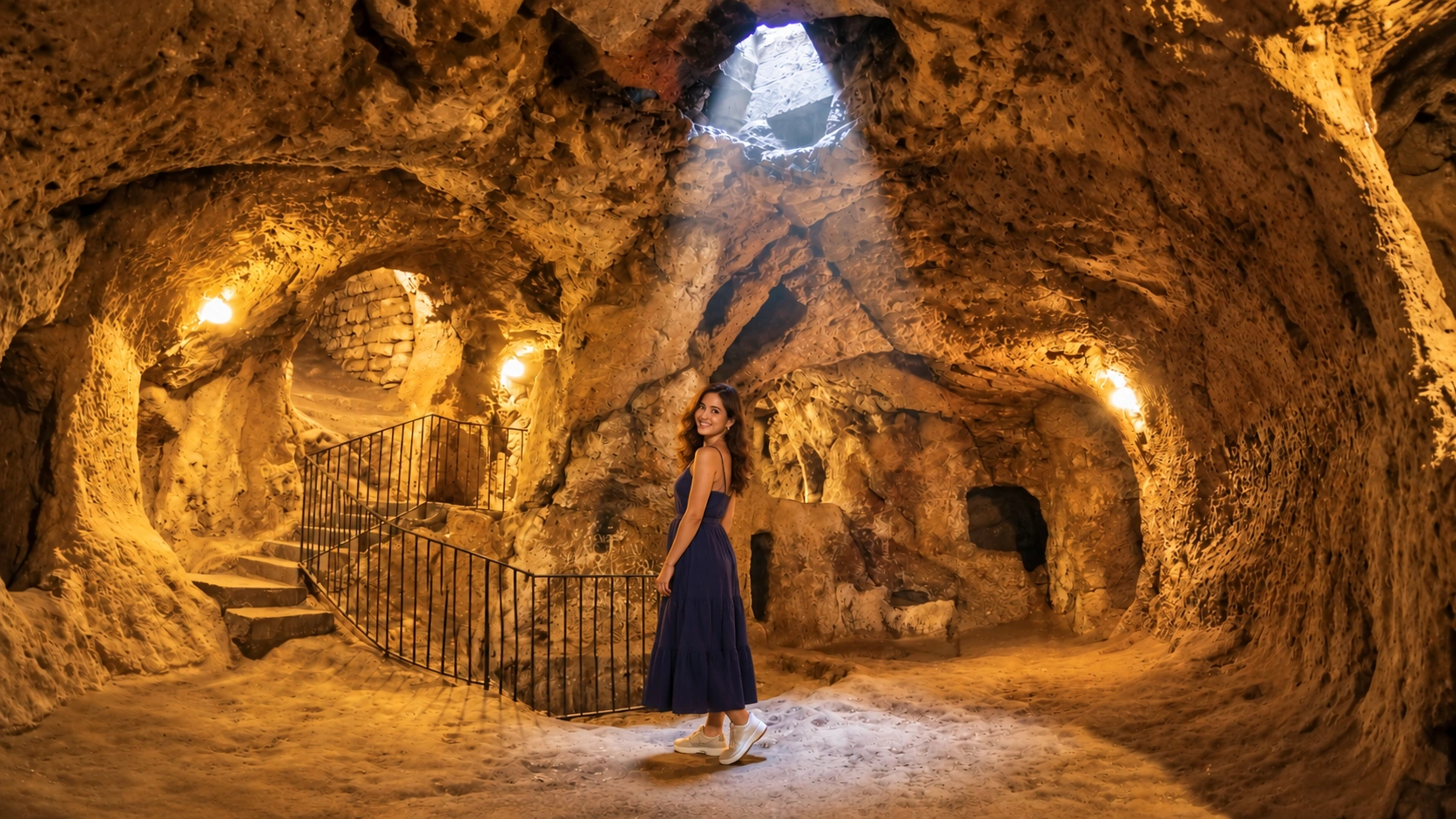
Mazı (ancient Mataza), south of Ürgüp, reopened after earlier collapse-related closures. Expect partial level access, millstone doors and a calmer pace than the headline pair.
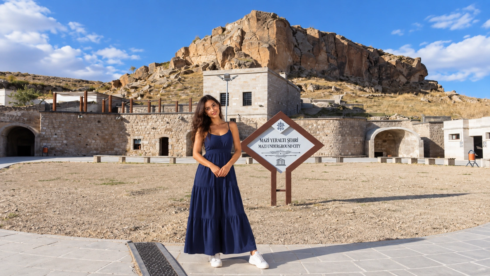
Tatlarin, north of Tatlarin town near Acıgöl on a hill locals call “the Castle,” offers spacious halls linked by tunnels. Partial floors are typically open—verify hours locally before detouring west of the Göreme hub.
Closed / limited
Özlüce — not open to visitors
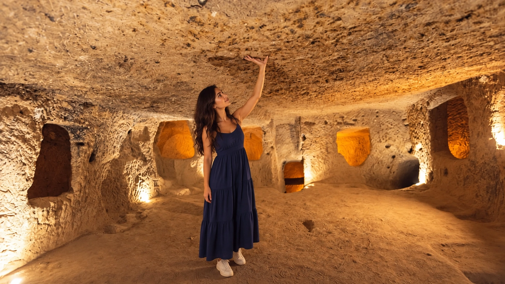
Özlüce, west of Kaymaklı, has a distinctive basalt-arched approach and a sprawling single-horizon layout rather than a classic stacked-floor plan. Nevşehir official pages state it has not been fully cleared and remains closed due to collapse risk. Do not plan it as a walk-in attraction.
Outside the core loop
Gaziemir (Aksaray), Gökçetoprak and Ağırnas (Kayseri)
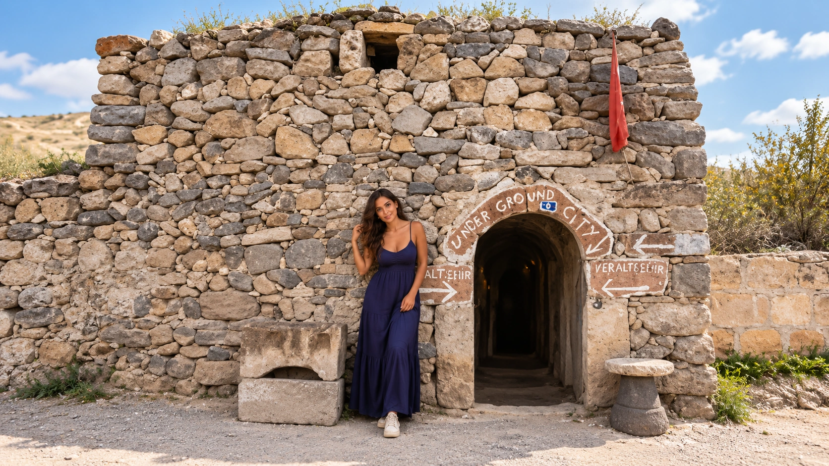
Gaziemir sits in Gaziemir village, Güzelyurt, Aksaray—not a Nevşehir downtown suburb. Large chambers and later-use stories appear in regional guides; treat caravan-inn narratives as soft and confirm current ticketing (often outside MüzeKart networks).
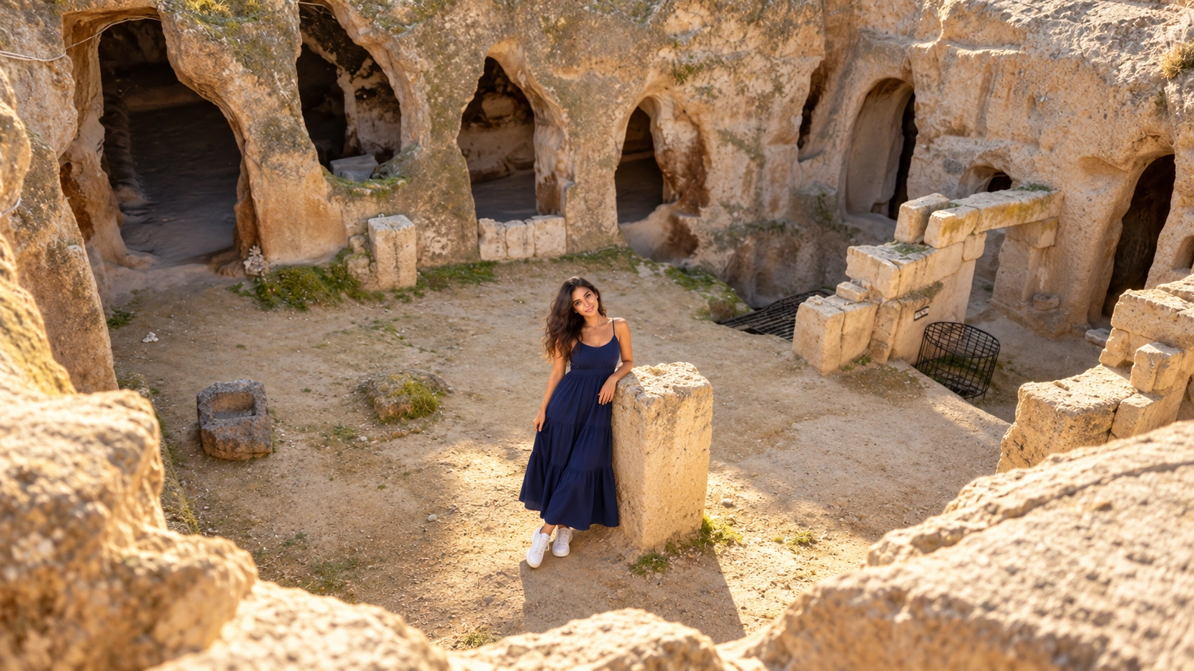
Gökçetoprak (historic Sivasa / old “Sivas” village name in records) is in Gülşehir, Nevşehir—not Sivas province. Excavation descriptions mention two irregular levels in mudstone/tuff under andesite. Specialist stop only.
Ağırnas, in Melikgazi, Kayseri, combines subterranean spaces with the hometown story of architect Mimar Sinan. Plan it from Kayseri, not as a same-morning hop from Göreme balloon hotels.
Comfort & safety
Claustrophobia, stairs, kids and mobility
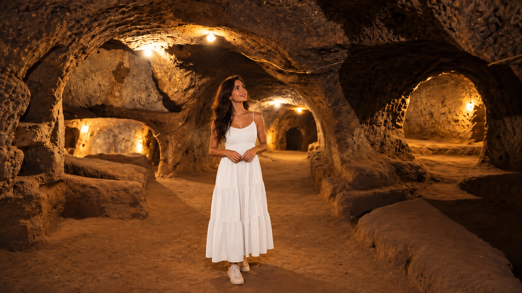
- Spaces: low ceilings, single-file tunnels, steep carved stairs, limited turning room.
- Mobility: not suitable for wheelchairs or strollers; limited-mobility travellers should skip deep levels.
- Claustrophobia / respiratory: consider Kaymaklı’s wider rooms—or skip underground sites entirely.
- Gear: closed grip shoes; leave large backpacks above if directed.
- Children: possible with close supervision; no running in tunnels.
- Time: 45–90 minutes per city is realistic; two deep sites in one day is exhausting.
Getting there
Transport — Göreme base vs Istanbul arrival
- Most visitors base in Göreme, Uçhisar or Ürgüp and reach Derinkuyu/Kaymaklı by tour van, dolmuş patterns or private driver.
- Istanbul→Cappadocia road logistics: Istanbul to Cappadocia transfer—door-to-door transport only, not an underground-city ticket package.
- Multi-stop days (Özkonak + Avanos, or Aksaray Gaziemir) suit a booked car with driver for luggage continuity—still not licensed guiding.
FAQ
Underground cities — quick answers
Why were Cappadocia’s underground cities built?
Official framing stresses secure refuge during threats plus a more stable underground climate. Soft tuff made carving practical. Later Christian liturgical spaces appear in many complexes, but that is not the only chapter.
How deep is Derinkuyu?
Official text cites about 85 metres. Only a portion is open to the public (~10%). Ignore unverified floor-count marketing unless the gate confirms what you can walk.
Derinkuyu or Kaymaklı—which first?
Pick one for a first trip. Derinkuyu feels deeper and more dramatic; Kaymaklı often feels wider room-to-room. Doing both the same day is possible but tiring.
Is Özlüce open?
No—provincial information lists collapse risk and incomplete clearing. Choose another open site.
Are Gaziemir and Ağırnas in Cappadocia?
They sit in the wider Central Anatolian rock-cut cultural zone: Gaziemir in Aksaray (Güzelyurt), Ağırnas in Kayseri. Plan extra road time from the Göreme hotel belt.
Next step
Choose one deep site, then add valleys above ground
Start with Derinkuyu or Kaymaklı, keep Özlüce off the list, and only stretch to Özkonak, Mazı, Gaziemir or Ağırnas if your days and comfort allow. Pair underground mornings with open-air valleys and viewpoints via Cappadocia planning. For long-haul arrivals, use Istanbul to Cappadocia or intercity car with driver—transport only.