
Turkey · Black Sea Region · Road trip
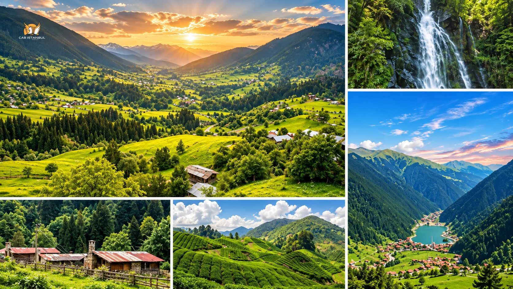
The Black Sea coast of Turkey is not one resort strip. It is a long, rainy, green corridor of tea terraces, fishing harbours, cliff monasteries and highland meadows — from Artvin’s Georgian border in the east to the forest lakes of Bolu in the west.
Old copy often sold the region as Trabzon plus Ayder. Travellers actually ask for a Karadeniz tour: Sümela and Uzungöl, Çamlıhemşin’s Fırtına Valley, two different Karagöl lakes in Artvin, Ordu’s Boztepe, Samsun’s delta and canyon, Sinop’s drowned-valley bay, Amasra’s harbours and UNESCO Safranbolu. This page keeps those stops, corrects inflated claims, and adds places that belong on a real itinerary.
Shortlist
Must-see places on Turkey’s Black Sea coast
Use this as a first cut, not a replacement for the city sections below.
- Sümela Monastery — cliff monastery in Maçka’s Altındere Valley
- Uzungöl — long valley lake south of Trabzon
- Ayder Plateau — Çamlıhemşin highland base with thermal baths
- Fırtına Valley and Zilkale — stone castle above a rafting river
- Palovit Waterfall — forest fall inside Kaçkar country
- Borçka Karagöl and Şavşat Karagöl — two Artvin lakes, not one
- Ordu Boztepe — cable-car hill over the harbour
- Kuzalan / Mavi Göl — mineral-blue pools in Giresun
- Şahinkaya Canyon and the Kızılırmak Delta near Samsun
- Hamsilos Bay — fjord-like ria outside Sinop
- Amasra — twin harbours and a Roman road monument
- Safranbolu — UNESCO Ottoman town
- Yedigöller and Abant — Bolu forest lakes
- Valla and Horma canyons — Kastamonu’s Küre Mountains
Map in words
Eastern, Central and Western Black Sea
Turkish geography splits the region into three sections. That split is still the most useful way to plan driving days.
| Section | Coastal core | What it feels like |
|---|---|---|
| Eastern Black Sea | Artvin, Rize, Trabzon, Gümüşhane, Giresun, Ordu | Steep tea slopes, plateaus, monasteries, the wettest greens |
| Central Black Sea | Samsun, Sinop | Wider plains, Atatürk history, a northern cape and bird wetlands |
| Western Black Sea | Kastamonu, Bartın / Amasra, Karabük / Safranbolu, Zonguldak, Düzce, Bolu | Ottoman towns, canyons, beaches and forest national parks |
Amasya and Tokat sit in the same geographic region but are inland. They make sense only as a short detour from Samsun — this page stays on the coast and the mountains that feed it.
Planning
How many days do you need for the Black Sea?
These are flexible ranges, not locked schedules. Weather, mountain roads and festival weekends stretch every plan.
- 3–4 days — one cluster: Trabzon–Sümela–Uzungöl, or Rize–Ayder–Fırtına, or Amasra–Safranbolu–Kastamonu
- 5–7 days — Eastern highlights: Trabzon, Uzungöl, Çamlıhemşin, Ayder, one Artvin lake
- 7–10 days — East plus Ordu or Giresun, or a Western loop from Istanbul
- 10+ days — East and West in one journey, with buffer days for fog and rain
Best time to visit Turkey’s Black Sea region
Late spring (May–June) brings the first full green and waterfall volume. July–August is plateau season — Ayder, Pokut, Anzer and Çambaşı fill with domestic travellers. September–October is the forest-colour window for Yedigöller, Artvin lakes and highland roads, with less haze. Winter suits Kartalkaya, Zigana, Çambaşı and Atabarı when snow holds; coastal towns stay open but wet.
Highland weather turns in an hour. Fog closes viewpoints; rain makes dirt plateau tracks slippery. Ask locally the morning you leave for Pokut, Huser or Şavşat. Do not treat a summer postcard as a year-round road report.
Eastern Black Sea
Trabzon
Trabzon is the eastern coast’s main city: a harbour, a walled old core and the jumping-off point for Maçka and Uzungöl. The Trabzon walls drop from the citadel hill toward the sea — walk sections for orientation, not for a complete circuit. Boztepe above town is the tea-garden terrace over the port (do not confuse it with Ordu’s Boztepe). Sera Lake, west of the centre, is a landslide lake for a short boat or picnic stop.
Atatürk Mansion in Soğuksu is a wooden hillside house, useful if you want a city afternoon that is not only viewpoints. Akçaabat, just west, is the local name people attach to köfte — eat it there if the drive already passes the district.
Trabzon Hagia Sophia
The shoreline church built for the Komnenos court in the mid-13th century (Manuel I) later served as mosque, museum and, since 2013, mosque again under Vakıflar. Old guides still say “Hagia Sophia Museum.” Visit for the plan and frescoes; confirm current visitor rules at the door. It is not Istanbul’s Hagia Sophia.
Vazelon Monastery and Çal Cave
Vazelon (often spelled Vaselon) stands in Maçka country as another rock-cut monastic site, quieter than Sümela. Treat foundation dates as tradition unless an on-site board says otherwise. Çal Cave (Çal Mağarası) in Düzköy is a show cave with stalactites — popular, not “one of the longest caves in the world.”
Maçka
Sümela Monastery
Sümela Monastery clings to a cliff in Altındere Valley National Park, about 47 km south of Trabzon and 17 km from Maçka. Official culture pages tell a foundation legend under Theodosius I (375–395). The monastery visitors photograph is largely a later complex: sources place its surviving form from the 13th century, with a documented rise under Alexios III (1349–1390). It emptied after 1923 and sits on UNESCO’s Tentative List — not the inscribed World Heritage list.
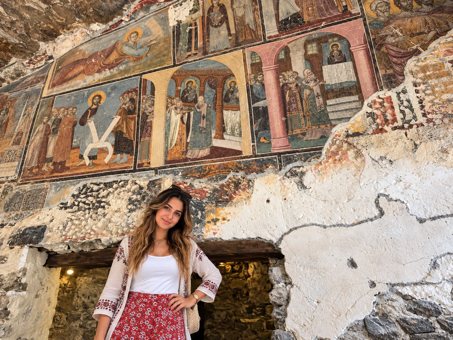
Pair it with Vazelon only if legs and daylight remain. Ticket hours and trail rules change; check the site the morning you go. Fog can hide the façade entirely.
Çaykara
Uzungöl
Uzungöl — “long lake” — sits in a mountain valley south of Trabzon, a landslide-dammed lake ringed by a village of pensions and cafés. It is the eastern coast’s most photographed still water, and it is busy in July and August. Go for the bowl of forest and the walk around the shore, not for solitude in high season.
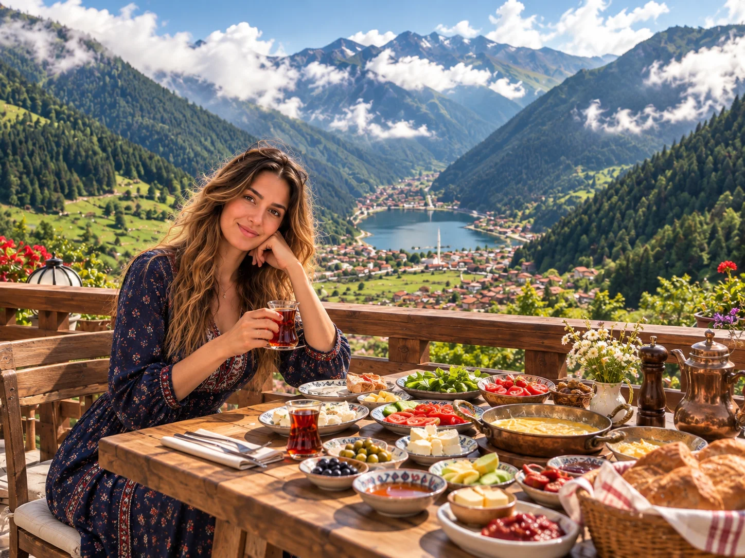
Altitude figures in older copy hover around 1,100 m. Treat that as orientation. Surrounding plateaus (Haldizen and others) are separate drives. This page does not list hotels or prices.
Tea country
Rize and Çamlıhemşin
Rize is Turkey’s tea capital: terraces fall to the sea, and the real travel starts inland at Çamlıhemşin, the stone-bridge town that gates Fırtına Valley. A Rize city stroll (corniche, tea garden) is enough; spend the nights or the long day in the valley.
Kaçkar Mountains National Park
The park was designated in 1994. The official forestry list publishes about 53,000 hectares across Rize, with edges in Artvin and Erzurum. Glacial lakes, waterfalls and endemic plants sit above the tea line. Do not lock old visitor counts. Summer hiking and winter snow are different trips; hire a local mountain guide for summits, not a city chauffeur.
Fırtına Valley, Zilkale and Palovit
The Fırtına is the valley people mean when they say Çamlıhemşin: arched bridges, pensions, and commercial rafting in season. Raft only with a licensed local operator. Weather and water levels close the river without notice.
Zilkale sits on the west slope, about 15 km south of Çamlıhemşin, roughly 750 m above sea and 100 m above the stream. Official pages do not lock a 5th-century founding. It is a medieval caravan-road castle (outer, middle and inner wards) restored in the 2010s. The stone pile over the green river is the photograph; the date is unsettled.
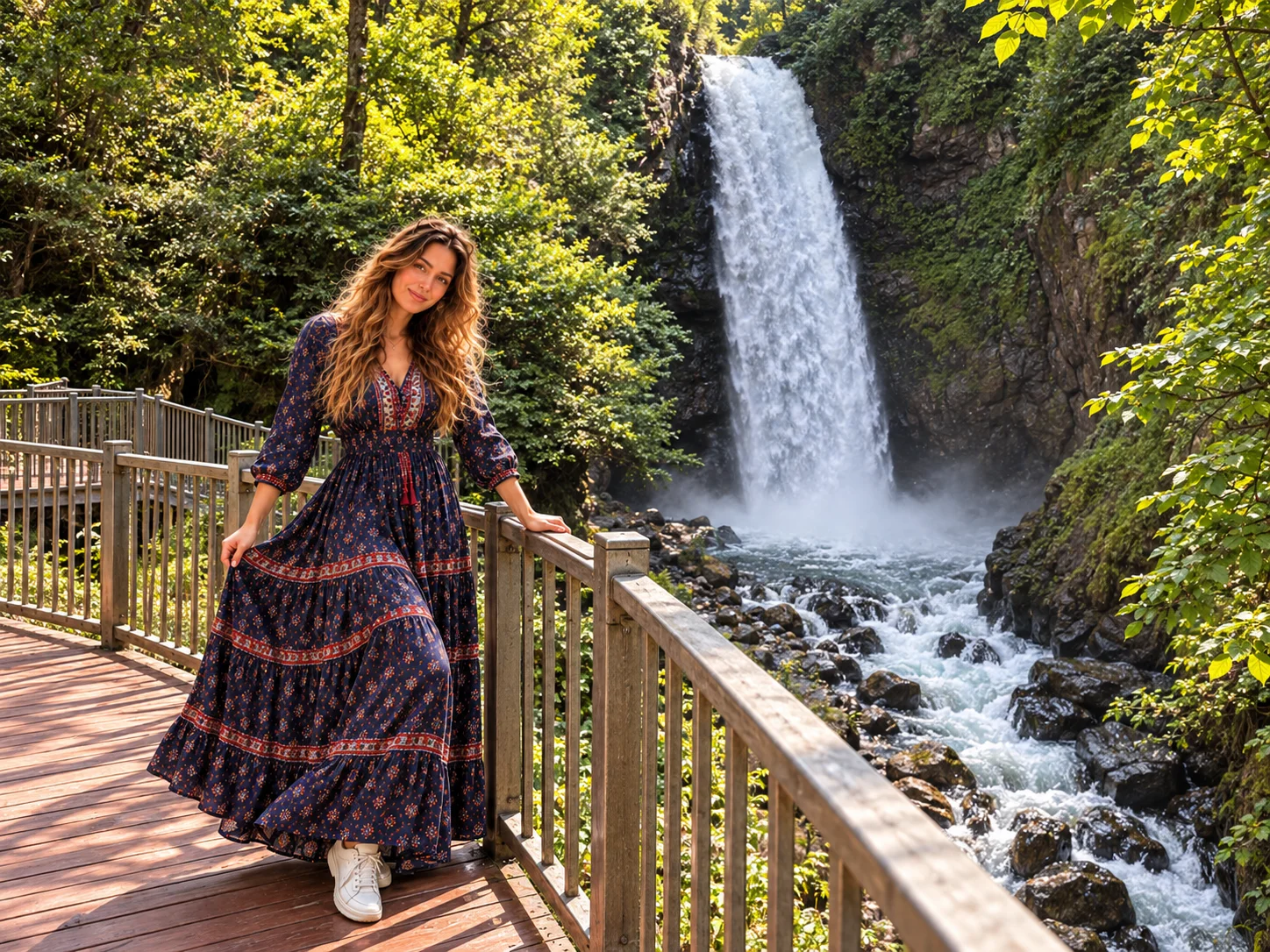
Palovit is among Rize’s tall advertised falls. Skip “the tallest” unless a ranger board states a measured height that day. The viewing terrace is the visit.
Şenyuva (Çinçiva) Bridge is the stone arch most valley drives already pass — stop, do not invent a half-day.
Highlands
Ayder Plateau and other Rize yaylas
Ayder lies about 19 km from Çamlıhemşin. Published altitudes vary between roughly 1,200 and 1,350 m. It is a developed highland village: hotels, a waterfall walk, and thermal baths that have drawn visitors since the late Ottoman period. They are popular for bathing and wellness, not a medical treatment.
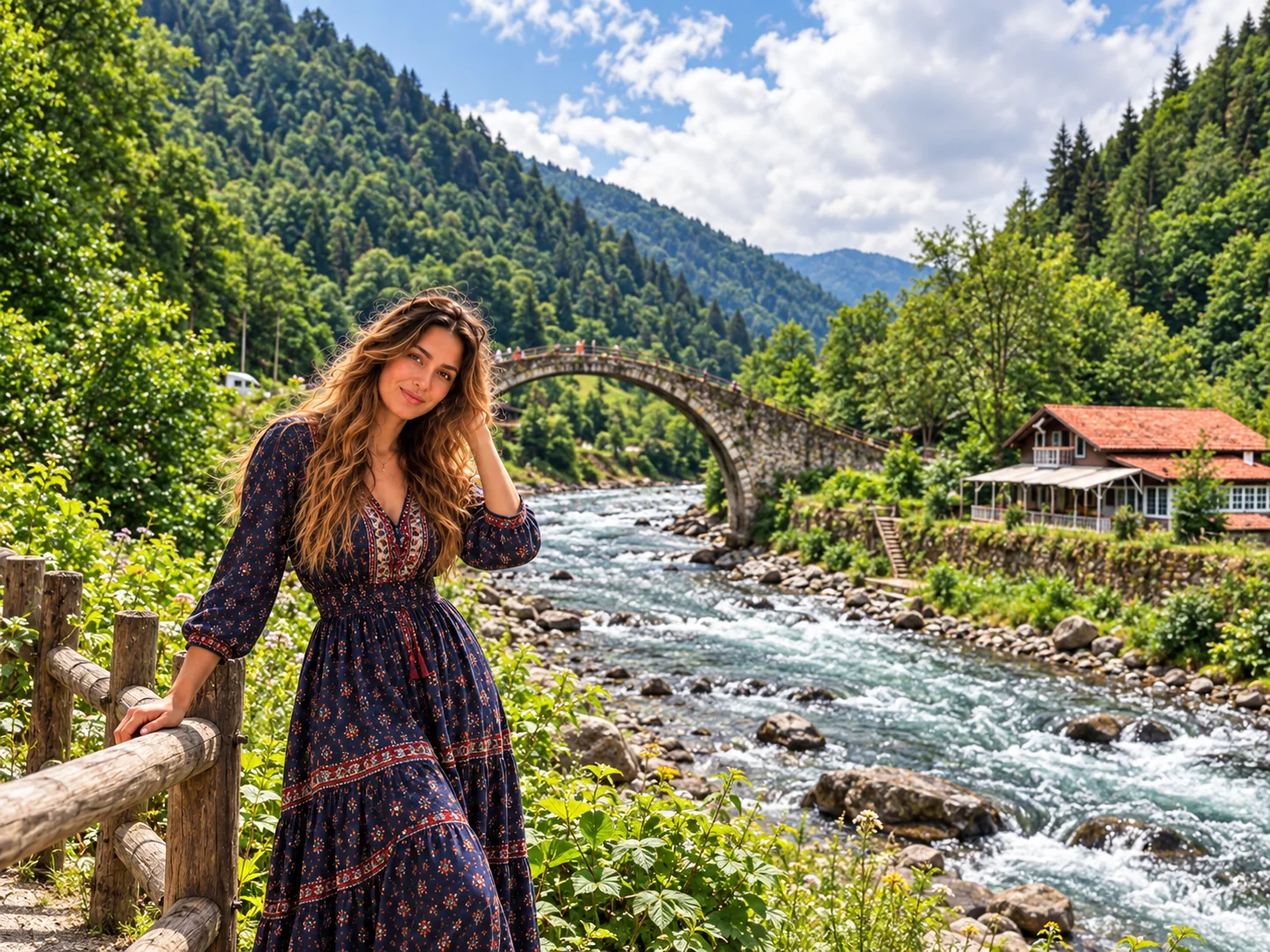
From Ayder, travellers push to higher meadows when the track is open:
- Pokut — the classic cloud-sea viewpoint (road conditions matter)
- Sal and Huser — neighbouring ridges for sunrise and sunset
- Elevit, Gito, Badara — further Hemşin plateaus if you have a second highland day
- Anzer — famous for flower honey and an August plateau festival; buy honey as food, not medicine
You do not need every yayla. One high viewpoint plus Ayder plus Fırtına is a full Rize day. Fog can erase Pokut after a clear breakfast.
Georgian border
Artvin
Artvin is the steepest eastern province: dam lakes in the Çoruh, boxwood valleys, and Georgian-period churches in high villages. It is not a beach stop. Plan nights or a long day from Rize or Şavşat.
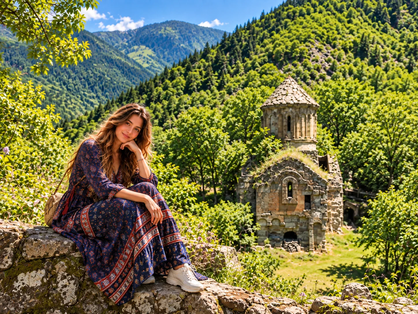
Borçka Karagöl and Şavşat Karagöl
These are two lakes. Borçka Karagöl Nature Park sits in a landslide bowl near the Klaskur highland, a dark-water forest lake east of Borçka. Şavşat Karagöl, in Sahara country, is a different basin toward the Ardahan side. Old itineraries that treat “Karagöl, Artvin” as one pin waste a driving day. Autumn colour is the usual reason to choose Şavşat; Borçka is the closer lake from the Hopa–Borçka road.

Macahel, Mençuna and ski
Camili (Macahel) is Turkey’s first UNESCO Man and the Biosphere reserve (2005): six villages on the Georgian border under the Karçal range, known for Caucasian bees and wet Colchic forest. It is a slow valley, not a viewpoint pull-off. Mençuna Waterfall in Arhavi is the black-rock cascade most drivers can add without entering Camili. Hatila Valley and Sahara National Park are official parks — use them if you already sleep in Artvin or Şavşat. Atabarı on Mersivan is a winter sports field; summer is a highland outing, not a locked ski product on this page.
Hazelnut coast
Giresun
Giresun is the hazelnut city between Trabzon and Ordu: a castle headland, an island offshore, and plateaus in the Dereli hinterland.
Giresun Castle sits on the peninsula above the harbour — more viewpoint and tea garden than standing fortress. Giresun Island is the only major Black Sea island with a regular visitor story (Amazon legend attached; boat weather decides). Kümbet and Kulakkaya are the plateau names locals give for summer highland days.
Kuzalan Nature Park and Mavi Göl
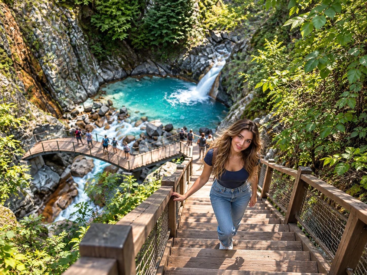
In Dereli, Kuzalan gathers waterfalls, travertine and a chain of small pools nicknamed Mavi Göl. Mineral-rich water turns turquoise in season. Call it a soda-influenced mountain stream system. Do not lock “the only carbonated lake on the Black Sea.”
Cape and cable car
Ordu
Ordu is the next harbour west: a rebuilt waterfront, a hill with a cable car, and a cape that photographs like a ship’s prow.
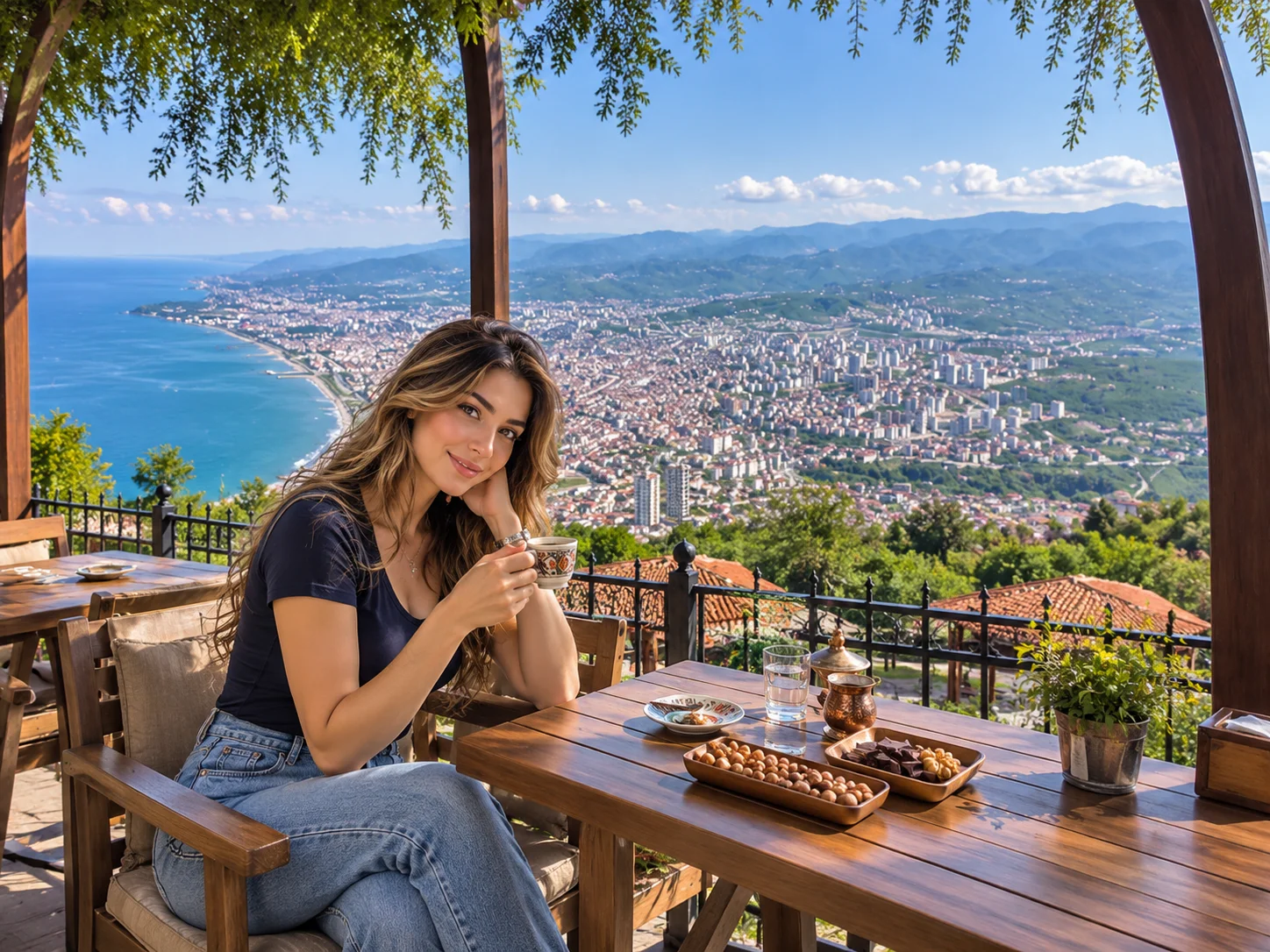
Boztepe rises above Altınordu. Drive or take the teleferik; the point is the sweep of city and sea. Yason Burnu in Perşembe is the peninsula with a small church and 360-degree water — one of the coast’s strongest short stops (and a high-volume Turkish search). Hoynat Island sits off that shore as a bird rock, not a landing you should assume is open.
Bozukkale (Cotyora) is a small 11th-century watchtower about 2 km from the centre, a 2nd-degree archaeological site. It is not Loryma and not a ruined city on a Lycian bay — that mix-up belongs to the Aegean. Çambaşı Plateau and ski field inland at Gölköy is the winter/summer highland. Ulugöl Nature Park is a forest lake basin — treat it as a nature park, not a loosely titled national park. Gaga Lake is an optional Fatsa-side still water if the coastal day already runs west.
Silver mountains
Gümüşhane
Gümüşhane sits inland of Trabzon, on the old Zigana road toward the interior. It is a nature-and-cave province more than a seaside one.
Karaca Cave is the show cave most itineraries use. Do not lock metre lengths from old brochures. Tomara Waterfalls in Şiran country are a multi-spring cascade in pasture — a picnic and short walk, not a locked 25-metre statistic.
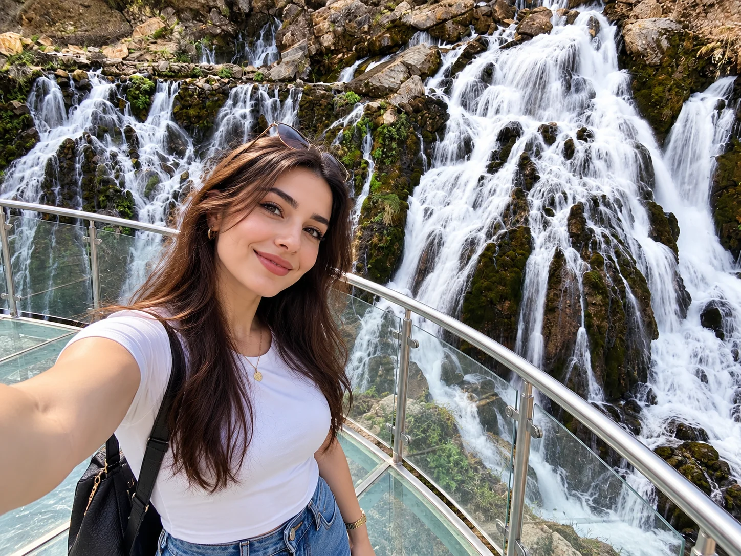
Limni Lake on the Sarıçiçek / Zigana side is a high tarn with boardwalks. Zigana is the pass and ski field between Trabzon and Gümüşhane. Krom Valley holds stone churches and old settlement fabric — go for the valley, not a reconstructed Greek village fantasy.
Central Black Sea
Samsun
Samsun is the central coast’s large city and the place Atatürk landed on 19 May 1919. The Bandırma Ferry museum on the waterfront tells that story with a replica ship. It is a civic monument, not a working ferry.
Amisos Hill (Baruthane) above İlkadım holds tumuli and a cable-car terrace over the gulf. Amazon Village in Terme is an open-air theme park about the Amazon legend — useful with children, not an archaeological substitute.
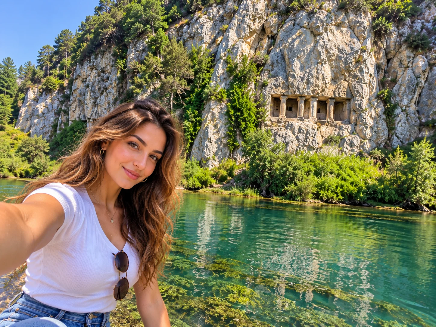
Asarkale and the rock tombs overlook the Kızılırmak valley. Şahinkaya Canyon near Vezirköprü is the province’s dramatic gorge — boat trips run when the dam water allows; confirm on the day. The Kızılırmak Delta (Kızılırmak Deltası Bird Sanctuary / Ramsar wetland) is one of Turkey’s major bird sites, missing from the old page and worth a morning with binoculars if you already sleep in Samsun. Akalan Waterfalls are an optional forest stop if the inland day is already open.
Northern cape
Sinop
Sinop occupies a peninsula that is almost an island: a walled harbour, a historic prison that is now a museum, and İnceburun, Turkey’s northernmost tip, with a lighthouse beyond the town. Sinop Castle and the old streets are the urban half-day.
Hamsilos Bay, in a nature park about 12–14 km from the centre (toward Akliman), is a drowned river valley — a ria. Official culture pages say it looks like a Scandinavian fjord but formed when the Deveci stream valley flooded as the sea rose. Do not call it “Turkey’s only fjord.” It is still one of the coast’s best short landscape stops.
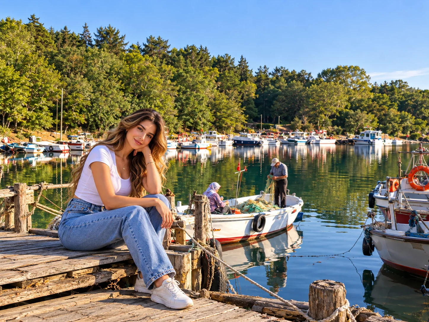
Erfelek Tatlıca is a chain of forest waterfalls inland. Karakum is the dark-sand city beach. Akliman is the neighbouring sandy cove. Boyabat Castle is an inland Ottoman/Byzantine pile if the southbound road already goes that way. İnaltı Cave in Ayancık is a show cave — confirm opening, do not lock a 3.5 km figure from old copy.
Western canyons
Kastamonu
Kastamonu is a mansion town under a hill castle, and the gateway to Küre Mountains National Park.
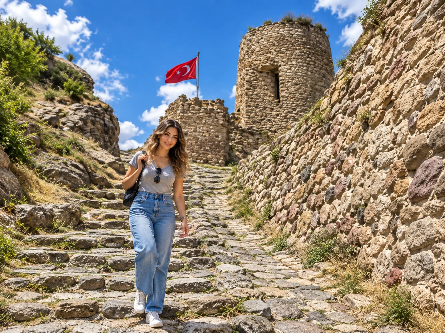
Kastamonu Castle is a restored hilltop (recent work changed its silhouette). The old streets and Mahmutbey Mosque in Kasaba village matter more than collecting every mansion. The nature line worth a full day is Horma Canyon (boardwalk), Ilıca Waterfall, and — only with proper equipment and a local guide — Valla Canyon. Marketing copy calls Valla one of the world’s great canyons. Treat it as a serious, technical gorge, not a family boardwalk. Çatak Canyon is another Küre option. On the coast, Cide and Gideros Bay are the swimming coves if the itinerary already faces the sea.
UNESCO town
Safranbolu
The City of Safranbolu entered the UNESCO World Heritage List in 1994 (criteria ii, iv, v) as a preserved Ottoman caravan town. Walk Çarşı, the old bazaar, Cinci Han, a restored house museum such as Kaymakamlar, and Hıdırlık Hill at dusk. Yörük Village nearby keeps a tighter cluster of timber houses.
Tokatlı Canyon and the Crystal Terrace (a modern glass deck, often described around 80 m above the valley) sit just outside the inscribed streets. The terrace is a viewpoint, not the World Heritage property. Bulak Mencilis Cave is the local show cave. Keltepe is the provincial ski hill — seasonal, not a reason to lock winter dates here.
Twin harbours
Amasra
Amasra, in Bartın province, is the Western Black Sea’s postcard harbour: Büyük Liman and Küçük Liman split by a fortified peninsula, the Kemere Bridge linking the castle rocks, and tea gardens on the walls. It is a walking town. Boztepe above town is a sunset terrace.
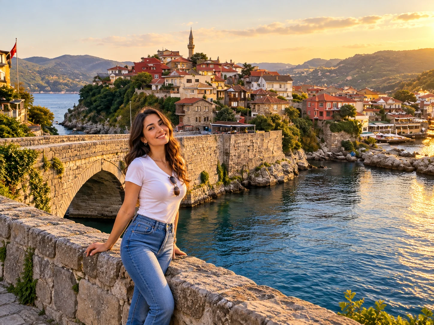
The Kuşkayası Road Monument, a few kilometres out, is a Roman roadside shrine: an eagle and a figure cut in the rock. Use that historic name, not “Bird Statue.” Güzelcehisar lava columns and İnkumu beach are Bartın-side extras if you already have a Western night.
Coal coast
Zonguldak
Zonguldak is a working harbour with a mining past. For a Black Sea drive, the useful pins are Gökgöl Cave near the city, the Cehennemağzı cave group at Ereğli (myth and archaeology mixed — read the site boards), and Filyos with its beach and castle mound. Harmankaya falls exist as a forest extra; do not force them onto a one-night stop.
Düzce and Akçakoca
Düzce is the Western hinge between Istanbul and the forest parks. Akçakoca is the beach town: a long open shore and the Ceneviz Castle ruin on a headland. Inland, Fakıllı Cave, Aydınpınar, Güzeldere and Samandere waterfalls, and Efteni Lake give a nature half-day if you are not rushing to Abant. Akçakoca is a high-volume Turkish search for a reason — it is the first real Black Sea swim many Istanbul drivers reach.
Forest lakes
Bolu
Bolu is the Western Black Sea’s woodland prefecture, not an inland Anatolian detour. Keep it on the same trip as Abant and Yedigöller, then turn back toward Istanbul or north to Akçakoca.
Yedigöller National Park (Seven Lakes) is a cluster of landslide lakes in beech forest, famous in October. Roads can close or go to a shuttle in peak colour weeks — ask the park, do not lock a private-car right to the lakeshore. Abant Lake Natural Park is the more developed loop walk and hotel shore. Gölcük is a small crater-like pond in pines above the city. Kartalkaya is the ski resort (roughly December–April when snow holds). Akkaya travertines are a modest white terrace, not a second Pamukkale. Mudurnu and Göynük are Ottoman-town add-ons if the Western loop already runs that corridor. Sünnet Lake is optional, not required.
Itineraries
Black Sea road trip ideas
The coastal highway (the D010 family) links the harbours. Plateau spurs are the slow parts. Do not lock hours; mountain weather and tea-truck traffic decide the day.
Eastern Black Sea route
Trabzon (Ayasofya, Boztepe) → Sümela → night in Trabzon or Maçka → Uzungöl → Rize tea terraces → Çamlıhemşin / Fırtına / Zilkale → Ayder → optional Pokut → Artvin: Borçka Karagöl or a second day to Şavşat / Mençuna. Fly into Trabzon (TZX) or Rize–Artvin (RZV) if you are not driving from Istanbul.
Central Black Sea route
Ordu (Boztepe, Yason) → Giresun (castle, Kuzalan if time) → Samsun (Bandırma, delta or Şahinkaya) → Sinop (prison, Hamsilos, İnceburun). Ordu–Giresun (OGU), Samsun Çarşamba (SZF) and Sinop (NOP) sit on this band.
Western Black Sea route
Istanbul → Bolu (Abant or Yedigöller) → Akçakoca → Zonguldak / Filyos → Amasra → Safranbolu → Kastamonu (Horma / Ilıca). This is the loop that fits a long weekend from the city without flying east.
Table
Black Sea food worth ordering
Do not treat every dish as “the whole coast.” Tea and hazelnuts are eastern; hamsi is winter-coastal; Safranbolu has its own lokum and saffron sweets.
- Hamsi — Black Sea anchovy, especially in cold months, grilled or in rice
- Kuymak / mıhlama — cornmeal and cheese pan, strongest in the east
- Akçaabat köfte — Trabzon district grilled meatballs
- Pide and corn breads — everyday bakery, not a single famous shop
- Laz böreği — sweet tray pastry in Rize–Artvin country
- Rize tea — drink it where the terraces are, not as a souvenir claim
- Hazelnuts — Giresun–Ordu orchards; buy roasted, not miracle health packs
- Anzer or yayla honey — food, not a medical product
Nature and adventure
Hiking and photography are the default. Rafting on the Fırtına is a commercial seasonal product — use a river operator. Canyons in Küre range from boardwalks (Horma) to technical descents (Valla). Skiing is Kartalkaya, Zigana, Çambaşı, Atabarı, Keltepe — seasons move with snow. Camping is common on plateaus; weather and village rules come first. A chauffeur can deliver you to a trailhead. The chauffeur is not a climbing or rafting guide.
From Istanbul
Private car and chauffeur for a Black Sea tour
The region rewards a vehicle: luggage between plateau hotels, children who will not enjoy dolmuş changes, and itineraries that mix a monastery morning with a lake afternoon. Car with driver from Cab Istanbul is an independent chauffeur booking — city-to-city driving, flexible photo stops, hotel-to-hotel bags. The driver is a professional chauffeur, not a licensed tour guide and not a mountain or rafting guide.
Cab Istanbul does not claim a staffed desk at Trabzon, Rize–Artvin, Samsun, Ordu–Giresun or Sinop airports. If you fly into those fields, arrange the road legs separately and confirm the pick-up. There is no verified “Black Sea hotel discount” and no official partnership with any monastery, park or municipality on this page.
For a multi-day Black Sea drive from Istanbul — or a chauffeur between eastern towns you have already booked — reserve the car on its own. Parks and monasteries sell their own tickets.
Questions
Black Sea Coast FAQs
What are the best places to visit on Turkey’s Black Sea Coast?
Sümela, Uzungöl, Ayder and Fırtına Valley in the east; Ordu Boztepe and Yason; Samsun’s delta or Şahinkaya; Hamsilos in Sinop; Amasra and Safranbolu; Yedigöller or Abant in Bolu. Pick a section — do not attempt all in four days.
How many days do you need for the Black Sea region?
Three to four days for one cluster; five to seven for eastern highlights; seven to ten for a broader road trip; more than ten if you join east and west.
Is Uzungöl worth visiting?
Yes if you want a valley lake and village cafés. Go early or off-peak. It is photogenic and commercial, not wilderness.
Is Ayder Plateau worth visiting?
Yes as a highland base with thermal baths and access to Kaçkar roads. It is built-up. Pokut or Huser are quieter when the track is open.
Where is Sümela Monastery?
In Altındere Valley, Maçka, Trabzon Province — about 47 km from Trabzon city. Foundation is a late-Roman legend; the standing complex is largely medieval.
What are the best places near Rize?
Çamlıhemşin, Fırtına Valley, Zilkale, Palovit, Ayder, and one high yayla such as Pokut if weather allows.
What can I see in Artvin?
Borçka or Şavşat Karagöl (choose one per day), Mençuna Waterfall, Camili/Macahel if you have time, and high-valley churches.
Is Borçka Karagöl different from Şavşat Karagöl?
Yes. Different districts, different basins. Confirm the map pin before you leave the coast road.
What is the best time to visit the Black Sea?
May–June for waterfalls and first green; July–August for plateaus; September–October for forests; winter for ski fields when snow holds. Expect rain in every season.
Is the Black Sea good for a road trip?
Yes. Harbours sit on one coastal axis; plateaus are spur roads. Build slack for fog and landslides after heavy rain.
Which airports serve the Black Sea region?
Trabzon (TZX), Rize–Artvin (RZV), Samsun Çarşamba (SZF), Ordu–Giresun (OGU), Sinop (NOP), Zonguldak Çaycuma (ONQ). Cab Istanbul does not automatically staff each field.
Is Sinop worth visiting?
Yes for the peninsula town, historic prison, İnceburun and Hamsilos. It is a slower, windier coast than Trabzon.
What should I see in Amasra?
The two harbours, castle and Kemere Bridge, a Boztepe sunset, and the Kuşkayası Roman road monument.
Is Safranbolu part of a Western Black Sea itinerary?
Yes. It sits inland of the coal coast and pairs naturally with Amasra and Kastamonu.
Where are the best waterfalls in the Black Sea region?
Palovit and valley falls around Çamlıhemşin; Mençuna in Arhavi; Tomara in Gümüşhane; Kuzalan/Göksu in Giresun; Tatlıca in Erfelek; Ilıca in Kastamonu. Heights vary — go for the setting.
What are the best plateaus in Rize?
Ayder as the base; Pokut, Sal and Huser for viewpoints; Anzer for the honey highland. You do not need all of them.
Can I visit the Black Sea in winter?
Yes. Coastal cities stay open. Highland roads and some park gates close. Ski fields operate when snow is enough.
Is a private car useful for a Black Sea tour?
Usually yes — luggage, children, and monastery-plus-lake days. A chauffeur is not a licensed guide.
How long is an Eastern Black Sea itinerary?
Five to seven days covers Trabzon, Sümela, Uzungöl, Çamlıhemşin/Ayder and one Artvin lake without rushing every yayla.
What food should I try in the Black Sea region?
Hamsi in season, kuymak/mıhlama in the east, Akçaabat köfte near Trabzon, Rize tea, hazelnuts around Giresun–Ordu, Laz böreği, and local honey as food.